Distance to Jamestown, Missouri

Calculating Your Route
Just a moment while we process your request...
Location Information
-
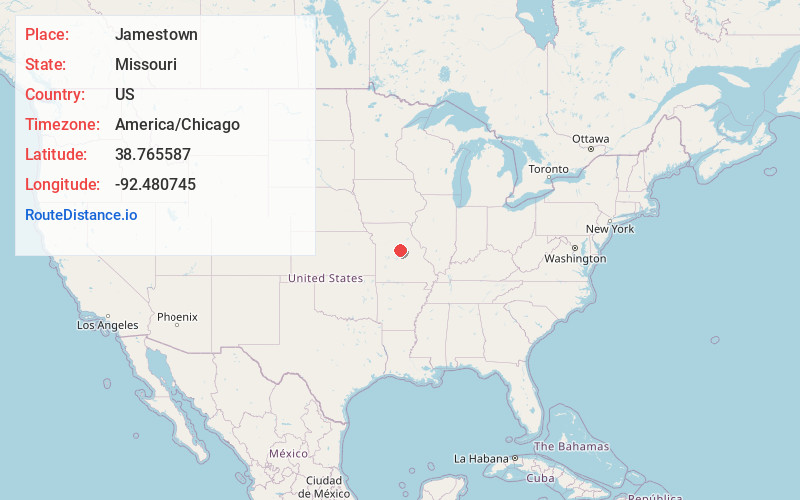
Full AddressJamestown, MO 65046
-
Coordinates38.7655869, -92.4807447
-
LocationJamestown , Missouri , US
-
TimezoneAmerica/Chicago
-
Current Local Time12:03:29 AM America/ChicagoFriday, June 20, 2025
-
Page Views0
About Jamestown
Jamestown is a village in northeastern Moniteau County, Missouri, United States. The population was 330 at the 2020 census, down from 386 in 2010. It is part of the Jefferson City metropolitan area.


Nearby Places
Found 10 places within 50 miles

California
10.6 mi
17.1 km
California, MO 65018
Get directions

Ashland
12.1 mi
19.5 km
Ashland, MO
Get directions

St Martins
14.6 mi
23.5 km
St Martins, MO
Get directions

Columbia
15.3 mi
24.6 km
Columbia, MO
Get directions
Windsor Place
16.3 mi
26.2 km
Windsor Place, MO 65233
Get directions

Russellville
17.7 mi
28.5 km
Russellville, MO 65074
Get directions

Tipton
17.8 mi
28.6 km
Tipton, MO 65081
Get directions

Boonville
20.1 mi
32.3 km
Boonville, MO 65233
Get directions

Holts Summit
21.2 mi
34.1 km
Holts Summit, MO 65043
Get directions

New Bloomfield
21.6 mi
34.8 km
New Bloomfield, MO 65063
Get directions
Location Links
Local Weather
Weather Information
Coming soon!
Location Map
Static map view of Jamestown, Missouri
Browse Places by Distance
Places within specific distances from Jamestown
Short Distances
Long Distances
Click any distance to see all places within that range from Jamestown. Distances shown in miles (1 mile ≈ 1.61 kilometers).