Distance to Jarreau, Louisiana

Calculating Your Route
Just a moment while we process your request...
Location Information
-
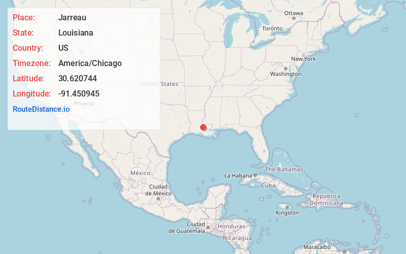
Full AddressJarreau, LA 70749
-
Coordinates30.6207439, -91.450945
-
LocationJarreau , Louisiana , US
-
TimezoneAmerica/Chicago
-
Current Local Time3:10:17 PM America/ChicagoWednesday, June 18, 2025
-
Page Views0
About Jarreau
Jarreau is an unincorporated community in the 7th Ward of Pointe Coupee Parish, Louisiana, United States. Jarreau is located approximately 30 miles northwest of Baton Rouge, and is a part of the Baton Rouge metropolitan area. The community is located on the banks of False River.
Nearby Places
Found 10 places within 50 miles

Majors
1.6 mi
2.6 km
Majors, LA 70762
Get directions
Knapp
2.1 mi
3.4 km
Knapp, LA 70752
Get directions
Parlange
2.2 mi
3.5 km
Parlange, LA 70755
Get directions
Allon
2.9 mi
4.7 km
Allon, LA 70760
Get directions
Lakeland
3.5 mi
5.6 km
Lakeland, LA 70752
Get directions
Alma
4.0 mi
6.4 km
Alma, LA 70752
Get directions

Ventress
4.9 mi
7.9 km
Ventress, LA 70783
Get directions
Island
5.3 mi
8.5 km
Island, LA 70783
Get directions
Chenal Crossing
5.4 mi
8.7 km
Chenal Crossing, LA 70736
Get directions
Patin
5.5 mi
8.9 km
Patin, LA 70783
Get directions
Location Links
Local Weather
Weather Information
Coming soon!
Location Map
Static map view of Jarreau, Louisiana
Browse Places by Distance
Places within specific distances from Jarreau
Short Distances
Long Distances
Click any distance to see all places within that range from Jarreau. Distances shown in miles (1 mile ≈ 1.61 kilometers).