Distance to Jasmine, Arkansas

Calculating Your Route
Just a moment while we process your request...
Location Information
-
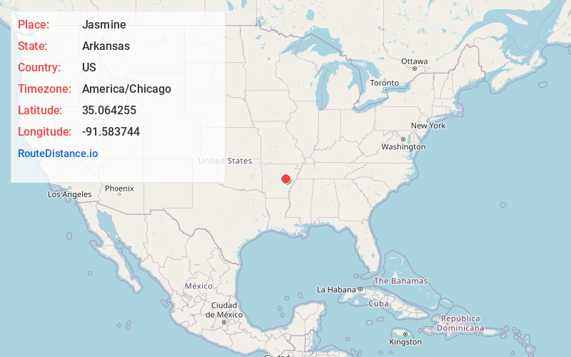
Full AddressJasmine, AR 72060
-
Coordinates35.0642554, -91.5837441
-
LocationArkansas , US
-
TimezoneAmerica/Chicago
-
Current Local Time12:16:21 PM America/ChicagoMonday, June 23, 2025
-
Page Views0
Nearby Places
Found 10 places within 50 miles

Griffithville
5.3 mi
8.5 km
Griffithville, AR 72060
Get directions
Hayley
6.2 mi
10.0 km
Hayley, AR 72040
Get directions
Walker
7.2 mi
11.6 km
Walker, AR 72143
Get directions
Enright
7.8 mi
12.6 km
Enright, AR 72143
Get directions

Des Arc
7.8 mi
12.6 km
Des Arc, AR 72040
Get directions
Conant
8.0 mi
12.9 km
Conant, AR 72068
Get directions
Andrews
8.3 mi
13.4 km
Andrews, AR 72143
Get directions

Georgetown
8.5 mi
13.7 km
Georgetown, AR 72143
Get directions
West Point
10.0 mi
16.1 km
West Point, AR
Get directions

Hickory Plains
10.1 mi
16.3 km
Hickory Plains, AR 72040
Get directions
Location Links
Local Weather
Weather Information
Coming soon!
Location Map
Static map view of Jasmine, Arkansas
Browse Places by Distance
Places within specific distances from Jasmine
Short Distances
Long Distances
Click any distance to see all places within that range from Jasmine. Distances shown in miles (1 mile ≈ 1.61 kilometers).