Distance to Jasper, Oregon

Calculating Your Route
Just a moment while we process your request...
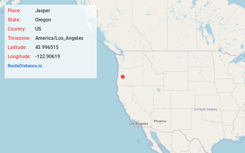
Location Information
-
Full AddressJasper, OR
-
Coordinates43.996515, -122.9061904
-
LocationJasper , Oregon , US
-
TimezoneAmerica/Los_Angeles
-
Current Local Time3:03:28 AM America/Los_AngelesWednesday, June 18, 2025
-
Page Views0
About Jasper
Jasper is an unincorporated community and census-designated place in Lane County, Oregon, United States. It is southeast of Springfield on Oregon Route 222, at the confluence of Hills Creek and the Middle Fork Willamette River.
Nearby Places
Found 10 places within 50 miles

Springfield
6.7 mi
10.8 km
Springfield, OR
Get directions

Dexter
6.9 mi
11.1 km
Dexter, OR 97431
Get directions

Creswell
8.0 mi
12.9 km
Creswell, OR 97426
Get directions

Lowell
8.1 mi
13.0 km
Lowell, OR 97452
Get directions

Eugene
9.9 mi
15.9 km
Eugene, OR
Get directions

Coburg
12.6 mi
20.3 km
Coburg, OR 97408
Get directions

River Rd
12.8 mi
20.6 km
River Rd, OR 97404
Get directions

Cottage Grove
15.7 mi
25.3 km
Cottage Grove, OR 97424
Get directions

Junction City
21.4 mi
34.4 km
Junction City, OR 97448
Get directions

Veneta
22.4 mi
36.0 km
Veneta, OR 97487
Get directions
Location Links
Local Weather
Weather Information
Coming soon!
Location Map
Static map view of Jasper, Oregon
Browse Places by Distance
Places within specific distances from Jasper
Short Distances
Long Distances
Click any distance to see all places within that range from Jasper. Distances shown in miles (1 mile ≈ 1.61 kilometers).