Distance to Jefferson, Oregon

Calculating Your Route
Just a moment while we process your request...
Location Information
-
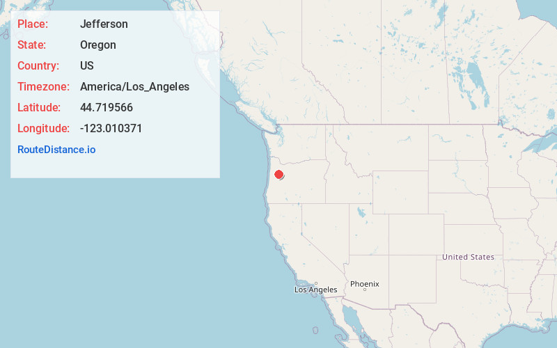
Full AddressJefferson, OR
-
Coordinates44.7195662, -123.0103708
-
LocationJefferson , Oregon , US
-
TimezoneAmerica/Los_Angeles
-
Current Local Time8:53:42 PM America/Los_AngelesThursday, June 19, 2025
-
Website
-
Page Views0
About Jefferson
Jefferson is a city in Marion County, Oregon, United States. It is part of the Salem Metropolitan Statistical Area. The population was 3,327 at the 2020 census. The city sits on the right bank of the Santiam River between Salem and Albany along Oregon Route 164 east of Interstate 5.


Nearby Places
Found 10 places within 50 miles

Albany
7.4 mi
11.9 km
Albany, OR
Get directions

Aumsville
10.8 mi
17.4 km
Aumsville, OR
Get directions

Stayton
12.0 mi
19.3 km
Stayton, OR
Get directions

Independence
12.6 mi
20.3 km
Independence, OR
Get directions

Lebanon
13.6 mi
21.9 km
Lebanon, OR 97355
Get directions

Monmouth
14.1 mi
22.7 km
Monmouth, OR
Get directions

Four Corners
14.5 mi
23.3 km
Four Corners, OR
Get directions

Salem
15.0 mi
24.1 km
Salem, OR
Get directions

Corvallis
16.4 mi
26.4 km
Corvallis, OR
Get directions

Hayesville
18.3 mi
29.5 km
Hayesville, OR 97305
Get directions
Location Links
Local Weather
Weather Information
Coming soon!
Location Map
Static map view of Jefferson, Oregon
Browse Places by Distance
Places within specific distances from Jefferson
Short Distances
Long Distances
Click any distance to see all places within that range from Jefferson. Distances shown in miles (1 mile ≈ 1.61 kilometers).