Distance to Jefferson County, Kansas

Calculating Your Route
Just a moment while we process your request...
Location Information
-
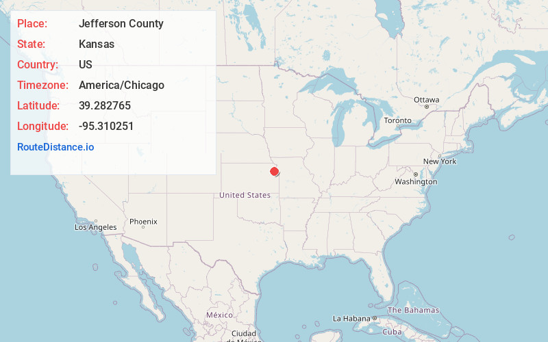
Full AddressJefferson County, KS
-
Coordinates39.2827652, -95.3102505
-
LocationKansas , US
-
TimezoneAmerica/Chicago
-
Current Local Time8:27:00 PM America/ChicagoWednesday, June 18, 2025
-
Page Views0
About Jefferson County
Jefferson County is a county located in the U.S. state of Kansas. Its county seat and most populous city is Oskaloosa. As of the 2020 census, the county population was 18,368. The county was named after Thomas Jefferson, the 3rd president of the United States.

Nearby Places
Found 10 places within 50 miles

Dunavant
1.8 mi
2.9 km
Dunavant, Jefferson Township, KS 66088
Get directions

Winchester
3.6 mi
5.8 km
Winchester, KS 66097
Get directions
Oskaloosa
4.7 mi
7.6 km
Oskaloosa, KS 66066
Get directions
Boyle
4.7 mi
7.6 km
Boyle, KS 66088
Get directions
Lake Shore
6.7 mi
10.8 km
Lake Shore, Ozawkie Township, KS 66070
Get directions
McLouth
8.1 mi
13.0 km
McLouth, KS 66054
Get directions

Valley Falls
9.0 mi
14.5 km
Valley Falls, KS 66088
Get directions

Ozawkie
9.1 mi
14.6 km
Ozawkie, KS
Get directions

Nortonville
9.3 mi
15.0 km
Nortonville, KS 66060
Get directions
Lakeside Village
9.5 mi
15.3 km
Lakeside Village, Fairview Township, KS 66066
Get directions
Location Links
Local Weather
Weather Information
Coming soon!
Location Map
Static map view of Jefferson County, Kansas
Browse Places by Distance
Places within specific distances from Jefferson County
Short Distances
Long Distances
Click any distance to see all places within that range from Jefferson County. Distances shown in miles (1 mile ≈ 1.61 kilometers).