Distance to Jefferson, South Dakota

Calculating Your Route
Just a moment while we process your request...
Location Information
-
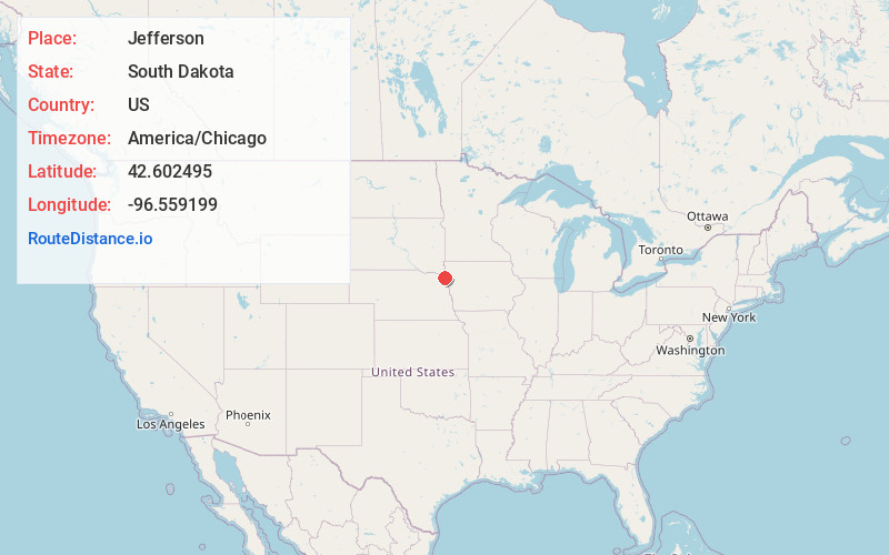
Full AddressJefferson, SD 57038
-
Coordinates42.6024951, -96.5591992
-
LocationJefferson , South Dakota , US
-
TimezoneAmerica/Chicago
-
Current Local Time10:22:07 PM America/ChicagoThursday, June 19, 2025
-
Page Views0
About Jefferson
Jefferson is a city in Union County, South Dakota, United States. The population was 475 at the 2020 census. It is part of the Sioux City, IA-NE-SD Metropolitan Statistical Area. Jefferson was founded in 1859.

Nearby Places
Found 10 places within 50 miles

Ponca
7.9 mi
12.7 km
Ponca, NE 68770
Get directions

Elk Point
8.4 mi
13.5 km
Elk Point, SD 57025
Get directions

Dakota Dunes
8.8 mi
14.2 km
Dakota Dunes, SD 57049
Get directions

Sioux City
10.7 mi
17.2 km
Sioux City, IA
Get directions

Hinton
13.7 mi
22.0 km
Hinton, IA 51024
Get directions

Dakota City
14.8 mi
23.8 km
Dakota City, NE
Get directions
Akron
15.6 mi
25.1 km
Akron, IA 51001
Get directions

Sergeant Bluff
17.2 mi
27.7 km
Sergeant Bluff, IA
Get directions

Merrill
17.7 mi
28.5 km
Merrill, IA 51038
Get directions
Lawton
20.9 mi
33.6 km
Lawton, IA 51030
Get directions
Location Links
Local Weather
Weather Information
Coming soon!
Location Map
Static map view of Jefferson, South Dakota
Browse Places by Distance
Places within specific distances from Jefferson
Short Distances
Long Distances
Click any distance to see all places within that range from Jefferson. Distances shown in miles (1 mile ≈ 1.61 kilometers).