Distance to Jefferson Park, California

Calculating Your Route
Just a moment while we process your request...
Location Information
-
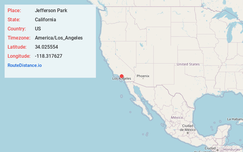
Full AddressJefferson Park, Culver City, CA 90018
-
Coordinates34.0255536, -118.3176268
-
NeighborhoodJefferson Park
-
LocationCulver City , California , US
-
TimezoneAmerica/Los_Angeles
-
Current Local Time9:40:58 PM America/Los_AngelesMonday, May 19, 2025
-
Page Views0
Nearby Places
Found 10 places within 50 miles

Ladera Heights
4.0 mi
6.4 km
Ladera Heights, CA
Get directions

Culver City
4.5 mi
7.2 km
Culver City, CA
Get directions

Los Angeles
4.7 mi
7.6 km
Los Angeles, CA
Get directions

Inglewood
4.8 mi
7.7 km
Inglewood, CA
Get directions

Beverly Hills
5.8 mi
9.3 km
Beverly Hills, CA
Get directions

Lennox
6.4 mi
10.3 km
Lennox, CA 90304
Get directions

Walnut Park
6.7 mi
10.8 km
Walnut Park, CA 90255
Get directions

Marina Del Rey
7.6 mi
12.2 km
Marina Del Rey, CA 90292
Get directions

South Gate
7.8 mi
12.6 km
South Gate, CA 90280
Get directions

Hawthorne
7.8 mi
12.6 km
Hawthorne, CA
Get directions
Location Links
Local Weather
Weather Information
Coming soon!
Location Map
Static map view of Jefferson Park, California
Browse Places by Distance
Places within specific distances from Jefferson Park
Short Distances
Long Distances
Click any distance to see all places within that range from Jefferson Park. Distances shown in miles (1 mile ≈ 1.61 kilometers).