Distance to Jefferson, Iowa

Calculating Your Route
Just a moment while we process your request...
Location Information
-
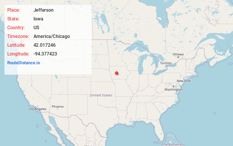
Full AddressJefferson, IA 50129
-
Coordinates42.0172457, -94.3774232
-
LocationJefferson , Iowa , US
-
TimezoneAmerica/Chicago
-
Current Local Time7:07:29 PM America/ChicagoTuesday, June 24, 2025
-
Page Views0
About Jefferson
Jefferson is a city in, and the county seat of Greene County, Iowa, United States, along the North Raccoon River. The population was 4,182 at the time of the 2020 census. It is the home of the Mahanay Memorial Bell Tower, 168 feet tall, located on the town square, and visible for miles.


Nearby Places
Found 10 places within 50 miles

Perry
18.6 mi
29.9 km
Perry, IA 50220
Get directions

Carroll
25.4 mi
40.9 km
Carroll, IA 51401
Get directions

Boone
25.7 mi
41.4 km
Boone, IA 50036
Get directions

Adel
33.4 mi
53.8 km
Adel, IA 50003
Get directions

Fort Dodge
34.9 mi
56.2 km
Fort Dodge, IA 50501
Get directions

Grimes
37.7 mi
60.7 km
Grimes, IA
Get directions

Waukee
38.1 mi
61.3 km
Waukee, IA
Get directions
Polk City
38.2 mi
61.5 km
Polk City, IA 50226
Get directions

Ames
38.3 mi
61.6 km
Ames, IA
Get directions

Huxley
40.8 mi
65.7 km
Huxley, IA
Get directions
Location Links
Local Weather
Weather Information
Coming soon!
Location Map
Static map view of Jefferson, Iowa
Browse Places by Distance
Places within specific distances from Jefferson
Short Distances
Long Distances
Click any distance to see all places within that range from Jefferson. Distances shown in miles (1 mile ≈ 1.61 kilometers).