Distance to Jeffersonville, New York

Calculating Your Route
Just a moment while we process your request...
Location Information
-
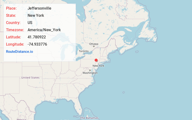
Full AddressJeffersonville, NY
-
Coordinates41.7809217, -74.9337755
-
LocationJeffersonville , New York , US
-
TimezoneAmerica/New_York
-
Current Local Time9:43:15 AM America/New_YorkWednesday, June 18, 2025
-
Page Views0
About Jeffersonville
Jeffersonville is a village in Sullivan County, New York, United States. The population was 369 at the 2020 census. The name is derived indirectly from Thomas Jefferson.
The Village of Jeffersonville is in the southeastern section of the Town of Callicoon on NY 52. The postal code is 12748.


Nearby Places
Found 10 places within 50 miles

Delaware
6.4 mi
10.3 km
Delaware, NY
Get directions
Callicoon
6.4 mi
10.3 km
Callicoon, NY 12723
Get directions

Cochecton
8.3 mi
13.4 km
Cochecton, NY 12726
Get directions

Damascus
8.8 mi
14.2 km
Damascus, PA 18443
Get directions

Livingston Manor
9.9 mi
15.9 km
Livingston Manor, NY 12758
Get directions
Round Top
10.2 mi
16.4 km
Round Top, Livingston Manor, NY 12758
Get directions

Smallwood
10.3 mi
16.6 km
Smallwood, NY
Get directions
Hurleyville
13.7 mi
22.0 km
Hurleyville, NY 12747
Get directions

Loch Sheldrake
14.2 mi
22.9 km
Loch Sheldrake, NY
Get directions

Monticello
15.3 mi
24.6 km
Monticello, NY 12701
Get directions
Location Links
Local Weather
Weather Information
Coming soon!
Location Map
Static map view of Jeffersonville, New York
Browse Places by Distance
Places within specific distances from Jeffersonville
Short Distances
Long Distances
Click any distance to see all places within that range from Jeffersonville. Distances shown in miles (1 mile ≈ 1.61 kilometers).