Distance to Jeffersonville, Indiana

Calculating Your Route
Just a moment while we process your request...
Location Information
-
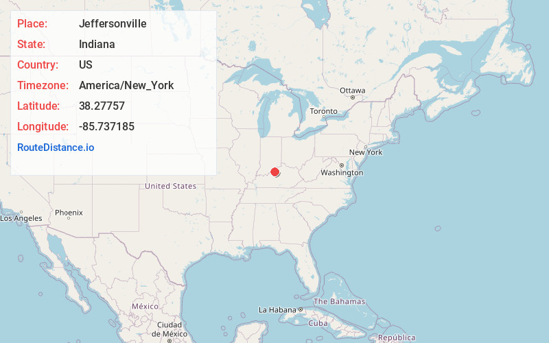
Full AddressJeffersonville, IN
-
Coordinates38.2775702, -85.7371847
-
LocationJeffersonville , Indiana , US
-
TimezoneAmerica/New_York
-
Current Local Time8:48:08 PM America/New_YorkWednesday, June 4, 2025
-
Website
-
Page Views0
About Jeffersonville
Jeffersonville is a city and the county seat of Clark County, Indiana, United States, situated along the Ohio River. Locally, the city is often referred to by the abbreviated name Jeff. It lies directly across the Ohio River to the north of Louisville, Kentucky, along I-65.


Nearby Places
Found 2 places within 50 miles


Location Links
Local Weather
Weather Information
Coming soon!
Location Map
Static map view of Jeffersonville, Indiana
Browse Places by Distance
Places within specific distances from Jeffersonville
Short Distances
Long Distances
Click any distance to see all places within that range from Jeffersonville. Distances shown in miles (1 mile ≈ 1.61 kilometers).