Distance to Jeffress, Virginia

Calculating Your Route
Just a moment while we process your request...
Location Information
-
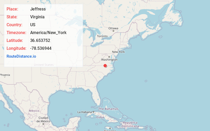
Full AddressJeffress, VA 23927
-
Coordinates36.6537517, -78.5369443
-
LocationVirginia , US
-
TimezoneAmerica/New_York
-
Current Local Time12:19:36 PM America/New_YorkSunday, May 25, 2025
-
Page Views0
Nearby Places
Found 10 places within 50 miles

Clarksville
2.3 mi
3.7 km
Clarksville, VA
Get directions

Finchley
2.5 mi
4.0 km
Finchley, VA 23927
Get directions
Skipwith
3.8 mi
6.1 km
Skipwith, VA 23968
Get directions
Sandy Fork
4.8 mi
7.7 km
Sandy Fork, VA 24529
Get directions
Orgainsville
5.1 mi
8.2 km
Orgainsville, VA 23964
Get directions
Bluestone
5.6 mi
9.0 km
Bluestone, VA 23964
Get directions
Grassy Creek
6.2 mi
10.0 km
Grassy Creek, Virginia 23927
Get directions
Soudan
6.3 mi
10.1 km
Soudan, VA 23927
Get directions

Buffalo Springs
6.9 mi
11.1 km
Buffalo Springs, VA 24529
Get directions

Shiny Rock
7.7 mi
12.4 km
Shiny Rock, VA 23927
Get directions
Location Links
Local Weather
Weather Information
Coming soon!
Location Map
Static map view of Jeffress, Virginia
Browse Places by Distance
Places within specific distances from Jeffress
Short Distances
Long Distances
Click any distance to see all places within that range from Jeffress. Distances shown in miles (1 mile ≈ 1.61 kilometers).