Distance to Jennings, Wisconsin

Calculating Your Route
Just a moment while we process your request...
Location Information
-
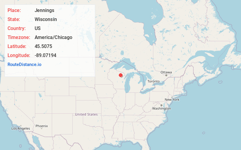
Full AddressJennings, WI 54463
-
Coordinates45.5075, -89.07194
-
LocationJennings , Wisconsin , US
-
TimezoneAmerica/Chicago
-
Current Local Time3:19:21 PM America/ChicagoFriday, May 30, 2025
-
Page Views0
About Jennings
Jennings is an unincorporated community located in the town of Schoepke, Oneida County, Wisconsin, United States. Jennings is located at the junction of County Highways B and Z 19 miles east-southeast of Rhinelander.
Nearby Places
Found 10 places within 50 miles

Post Lake
4.6 mi
7.4 km
Post Lake, WI 54428
Get directions

Mole Lake
4.7 mi
7.6 km
Mole Lake, WI 54520
Get directions

Elcho
7.4 mi
11.9 km
Elcho, WI 54428
Get directions
Enterprise
9.1 mi
14.6 km
Enterprise, WI 54463
Get directions

Crandon
9.3 mi
15.0 km
Crandon, WI 54520
Get directions

Summit Lake
10.8 mi
17.4 km
Summit Lake, WI
Get directions
Koepenick
12.7 mi
20.4 km
Koepenick, WI 54424
Get directions
Woodlawn
13.2 mi
21.2 km
Woodlawn, WI 54465
Get directions
Argonne
14.0 mi
22.5 km
Argonne, WI 54511
Get directions
Choate
15.1 mi
24.3 km
Choate, WI 54491
Get directions
Location Links
Local Weather
Weather Information
Coming soon!
Location Map
Static map view of Jennings, Wisconsin
Browse Places by Distance
Places within specific distances from Jennings
Short Distances
Long Distances
Click any distance to see all places within that range from Jennings. Distances shown in miles (1 mile ≈ 1.61 kilometers).