Distance to Jennings, Maryland

Calculating Your Route
Just a moment while we process your request...
Location Information
-
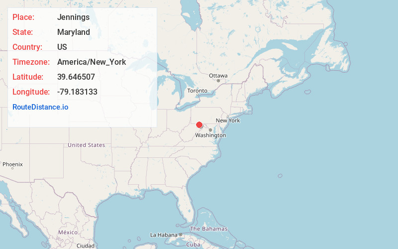
Full AddressJennings, MD 21536
-
Coordinates39.6465071, -79.1831327
-
LocationJennings , Maryland , US
-
TimezoneAmerica/New_York
-
Current Local Time7:36:07 AM America/New_YorkSaturday, June 7, 2025
-
Page Views0
About Jennings
Jennings is an unincorporated area and census-designated place in Garrett County, Maryland, United States. At the 2010 census, the population was 113.
The community is in northern Garrett County on Maryland Route 495, 4 miles south of Grantsville and 25 miles northeast of Oakland, the county seat.
Nearby Places
Found 10 places within 50 miles

Grantsville
3.8 mi
6.1 km
Grantsville, MD 21536
Get directions

Accident
7.4 mi
11.9 km
Accident, MD 21520
Get directions

Salisbury
9.1 mi
14.6 km
Salisbury, PA 15558
Get directions
Elk Lick Township
9.5 mi
15.3 km
Elk Lick Township, PA
Get directions
Detmold Hill
10.3 mi
16.6 km
Detmold Hill, Maryland 21539
Get directions

Addison
10.8 mi
17.4 km
Addison, PA 15411
Get directions

Friendsville
11.9 mi
19.2 km
Friendsville, MD 21531
Get directions
Barton
11.9 mi
19.2 km
Barton, MD 21521
Get directions
Moscow
11.9 mi
19.2 km
Moscow, MD 21521
Get directions

Klondike
11.9 mi
19.2 km
Klondike, MD 21532
Get directions
Location Links
Local Weather
Weather Information
Coming soon!
Location Map
Static map view of Jennings, Maryland
Browse Places by Distance
Places within specific distances from Jennings
Short Distances
Long Distances
Click any distance to see all places within that range from Jennings. Distances shown in miles (1 mile ≈ 1.61 kilometers).