Distance to and from Jersey City, New Jersey
Jersey City, NJ
Jersey City
New Jersey
US
America/New_York
Location Information
-
Full AddressJersey City, NJ
-
Coordinates40.7195342, -74.0430133
-
LocationJersey City , New Jersey , US
-
TimezoneAmerica/New_York
-
Current Local Time9:59:41 AM America/New_YorkSaturday, May 3, 2025
-
Website
-
Page Views0
Directions to Nearest Cities
About Jersey City
Jersey City is in northeastern New Jersey. Its eastern waterfront faces the Hudson River where it meets Upper New York Bay. Liberty State Park has panoramic views of the Manhattan skyline, the Statue of Liberty and Ellis Island, the former immigrant gateway. The park’s Liberty Science Center features interactive exhibits, live animals and an IMAX Dome theater. Bars and ethnic eateries line downtown’s Grove Street.


Nearby Places


Location Links
Local Weather
Weather Information
Coming soon!
Location Map
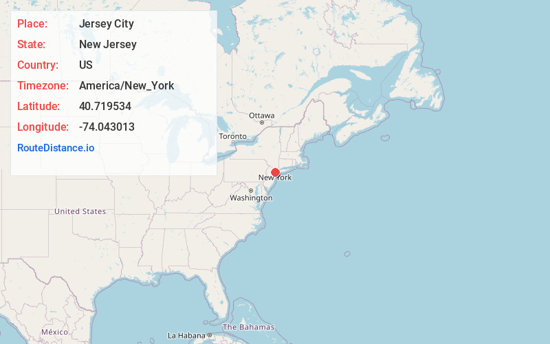
Static map view of Jersey City, New Jersey
Browse Places by Distance
Places within specific distances from Jersey City
Short Distances
Long Distances
Click any distance to see all places within that range from Jersey City. Distances shown in miles (1 mile ≈ 1.61 kilometers).