Distance to Jesup, Iowa

Calculating Your Route
Just a moment while we process your request...
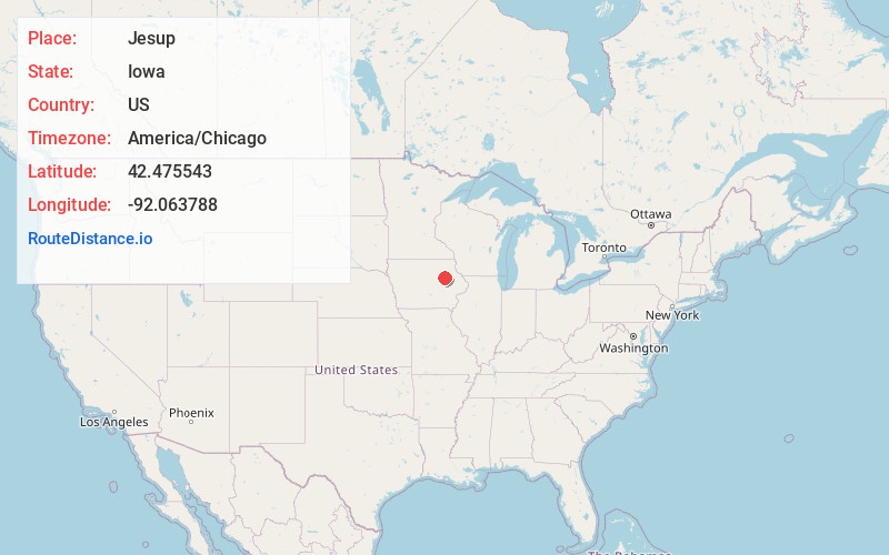
Location Information
-
Full AddressJesup, IA 50648
-
Coordinates42.475543, -92.0637884
-
LocationJesup , Iowa , US
-
TimezoneAmerica/Chicago
-
Current Local Time7:08:24 PM America/ChicagoWednesday, May 21, 2025
-
Page Views0
About Jesup
Jesup is a city in Buchanan County and partly in Black Hawk County in the U.S. state of Iowa. The population was 2,508 at the time of the 2020 census. It was named for Morris Ketchum Jesup, president of the Dubuque and Sioux City Railroad.
Nearby Places
Found 10 places within 50 miles

Independence
8.9 mi
14.3 km
Independence, IA 50644
Get directions

Evansdale
11.1 mi
17.9 km
Evansdale, IA 50707
Get directions

Waterloo
14.3 mi
23.0 km
Waterloo, IA
Get directions

Oelwein
16.0 mi
25.7 km
Oelwein, IA 50662
Get directions

Cedar Falls
19.9 mi
32.0 km
Cedar Falls, IA
Get directions

Hudson
20.5 mi
33.0 km
Hudson, IA
Get directions

Vinton
21.6 mi
34.8 km
Vinton, IA 52349
Get directions

Center Point
24.3 mi
39.1 km
Center Point, IA 52213
Get directions

Waverly
26.9 mi
43.3 km
Waverly, IA 50677
Get directions

Manchester
30.9 mi
49.7 km
Manchester, IA 52057
Get directions
Location Links
Local Weather
Weather Information
Coming soon!
Location Map
Static map view of Jesup, Iowa
Browse Places by Distance
Places within specific distances from Jesup
Short Distances
Long Distances
Click any distance to see all places within that range from Jesup. Distances shown in miles (1 mile ≈ 1.61 kilometers).