Distance to Joaquin, Texas

Calculating Your Route
Just a moment while we process your request...
Location Information
-
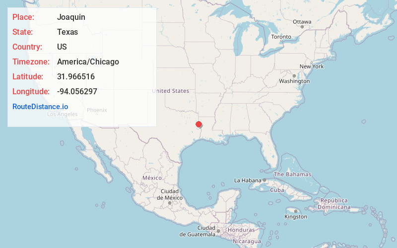
Full AddressJoaquin, TX 75954
-
Coordinates31.9665156, -94.0562968
-
LocationJoaquin , Texas , US
-
TimezoneAmerica/Chicago
-
Current Local Time1:02:22 PM America/ChicagoTuesday, June 24, 2025
-
Page Views0
About Joaquin
Joaquin is a city in northeastern Shelby County, Texas, United States. Founded in 1885, it was named after Joaquin Morris, grandson of the original land owner, Benjamin Franklin Morris. Its population was 734 at the 2020 census. It is located on U.S. Highway 84 and the tracks of the Southern Pacific Railroad.
Nearby Places
Found 10 places within 50 miles

Logansport
3.5 mi
5.6 km
Logansport, LA 71049
Get directions

Tenaha
11.1 mi
17.9 km
Tenaha, TX 75974
Get directions

Center
13.9 mi
22.4 km
Center, TX 75935
Get directions

Timpson
20.4 mi
32.8 km
Timpson, TX 75975
Get directions

Carthage
21.1 mi
34.0 km
Carthage, TX 75633
Get directions

Mansfield
21.4 mi
34.4 km
Mansfield, LA 71052
Get directions

Stonewall
25.7 mi
41.4 km
Stonewall, LA 71078
Get directions

Garrison
27.3 mi
43.9 km
Garrison, TX 75946
Get directions

Beckville
30.2 mi
48.6 km
Beckville, TX 75631
Get directions

San Augustine
30.4 mi
48.9 km
San Augustine, TX 75972
Get directions
Location Links
Local Weather
Weather Information
Coming soon!
Location Map
Static map view of Joaquin, Texas
Browse Places by Distance
Places within specific distances from Joaquin
Short Distances
Long Distances
Click any distance to see all places within that range from Joaquin. Distances shown in miles (1 mile ≈ 1.61 kilometers).