Distance to Joel, Georgia

Calculating Your Route
Just a moment while we process your request...
Location Information
-
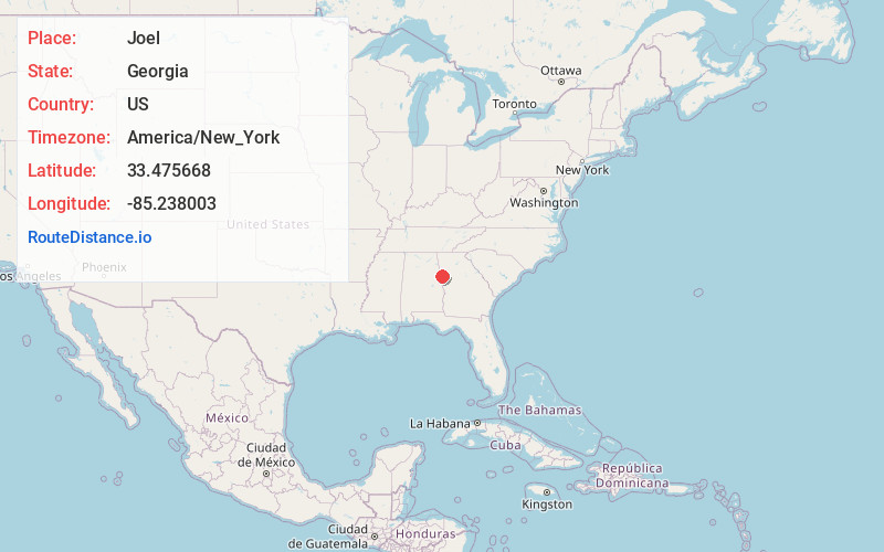
Full AddressJoel, GA 30108
-
Coordinates33.475668, -85.238003
-
LocationGeorgia , US
-
TimezoneAmerica/New_York
-
Current Local Time7:57:00 PM America/New_YorkThursday, June 19, 2025
-
Page Views0
Nearby Places
Found 10 places within 50 miles

Bowdon
4.4 mi
7.1 km
Bowdon, GA 30108
Get directions

Cedar Valley
4.8 mi
7.7 km
Cedar Valley, Bowdon, GA 30108
Get directions

Ephesus
4.8 mi
7.7 km
Ephesus, GA
Get directions
Farmers High
4.9 mi
7.9 km
Farmers High, GA 30117
Get directions
Graham
4.9 mi
7.9 km
Graham, AL 36263
Get directions
Roopville
6.3 mi
10.1 km
Roopville, GA 30170
Get directions

Ranburne
7.0 mi
11.3 km
Ranburne, AL 36273
Get directions
Sewell
7.1 mi
11.4 km
Sewell, AL 36280
Get directions
Barkers Crossroads
8.0 mi
12.9 km
Barkers Crossroads, GA 30217
Get directions
Centralhatchee
10.7 mi
17.2 km
Centralhatchee, GA 30217
Get directions
Location Links
Local Weather
Weather Information
Coming soon!
Location Map
Static map view of Joel, Georgia
Browse Places by Distance
Places within specific distances from Joel
Short Distances
Long Distances
Click any distance to see all places within that range from Joel. Distances shown in miles (1 mile ≈ 1.61 kilometers).