Distance to Johnson Creek, Wisconsin

Calculating Your Route
Just a moment while we process your request...
Location Information
-
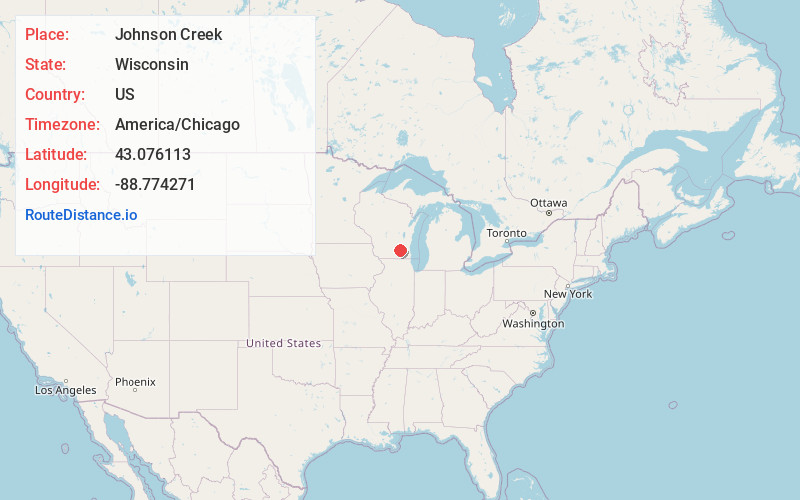
Full AddressJohnson Creek, WI
-
Coordinates43.076113, -88.7742707
-
LocationJohnson Creek , Wisconsin , US
-
TimezoneAmerica/Chicago
-
Current Local Time10:04:18 AM America/ChicagoSunday, June 29, 2025
-
Website
-
Page Views0
About Johnson Creek
Johnson Creek is a village in Jefferson County, Wisconsin, United States. The population was 3,318 at the 2020 census. The village is approximately halfway between Milwaukee and Madison, at the intersection of Wisconsin Highway 26 and Interstate 94.

Nearby Places
Found 10 places within 50 miles

Jefferson
5.2 mi
8.4 km
Jefferson, WI 53549
Get directions

Lake Mills
6.9 mi
11.1 km
Lake Mills, WI 53551
Get directions

Watertown
8.5 mi
13.7 km
Watertown, WI
Get directions

Fort Atkinson
10.7 mi
17.2 km
Fort Atkinson, WI
Get directions

Waterloo
13.1 mi
21.1 km
Waterloo, WI 53594
Get directions

Oconomowoc
14.1 mi
22.7 km
Oconomowoc, WI 53066
Get directions

Summit
14.8 mi
23.8 km
Summit, WI
Get directions
Marshall
16.1 mi
25.9 km
Marshall, WI 53559
Get directions

Okauchee Lake
16.7 mi
26.9 km
Okauchee Lake, WI
Get directions

Whitewater
16.9 mi
27.2 km
Whitewater, WI 53190
Get directions
Location Links
Local Weather
Weather Information
Coming soon!
Location Map
Static map view of Johnson Creek, Wisconsin
Browse Places by Distance
Places within specific distances from Johnson Creek
Short Distances
Long Distances
Click any distance to see all places within that range from Johnson Creek. Distances shown in miles (1 mile ≈ 1.61 kilometers).