Distance to Johnsons Mill, North Carolina

Calculating Your Route
Just a moment while we process your request...
Location Information
-
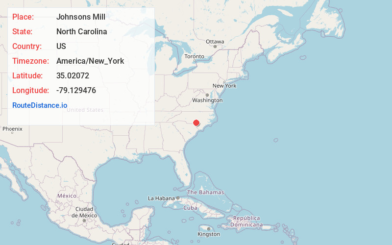
Full AddressJohnsons Mill, NC 28376
-
Coordinates35.0207204, -79.1294756
-
LocationNorth Carolina , US
-
TimezoneAmerica/New_York
-
Current Local Time10:57:19 PM America/New_YorkTuesday, June 17, 2025
-
Page Views0
Nearby Places
Found 10 places within 50 miles

Rockfish
4.1 mi
6.6 km
Rockfish, NC
Get directions
Hillcrest
4.1 mi
6.6 km
Hillcrest, NC 28376
Get directions
Arabia
4.9 mi
7.9 km
Arabia, NC 28357
Get directions
Sandy Grove
5.3 mi
8.5 km
Sandy Grove, NC 28357
Get directions

Silver City
5.9 mi
9.5 km
Silver City, NC 28376
Get directions

Raeford
6.0 mi
9.7 km
Raeford, NC 28376
Get directions
Dundarrach
6.5 mi
10.5 km
Dundarrach, NC
Get directions

Hoke County
6.7 mi
10.8 km
Hoke County, NC
Get directions
Bones Ford
7.3 mi
11.7 km
Bones Ford, Fayetteville, NC 28314
Get directions
Campbells Crossroad
7.4 mi
11.9 km
Campbells Crossroad, NC 28376
Get directions
Location Links
Local Weather
Weather Information
Coming soon!
Location Map
Static map view of Johnsons Mill, North Carolina
Browse Places by Distance
Places within specific distances from Johnsons Mill
Short Distances
Long Distances
Click any distance to see all places within that range from Johnsons Mill. Distances shown in miles (1 mile ≈ 1.61 kilometers).