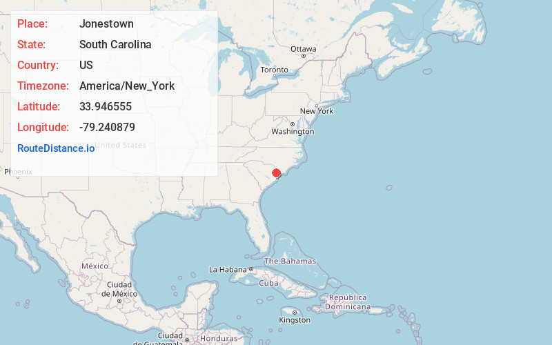
Distance to and from Jonestown, South Carolina
Jonestown, SC 29544
South Carolina
US
America/New_York
Location Information
-
Full AddressJonestown, SC 29544
-
Coordinates33.9465546, -79.2408788
-
LocationSouth Carolina , US
-
TimezoneAmerica/New_York
-
Current Local Time4:59:07 AM America/New_YorkSunday, May 4, 2025
-
Page Views0
Directions to Nearest Cities
Nearby Places
Found 10 places within 50 miles

Dog Bluff
1.0 mi
1.6 km
Dog Bluff, SC 29544
Get directions
Rehobeth
1.3 mi
2.1 km
Rehobeth, SC 29544
Get directions
Tompkins
1.3 mi
2.1 km
Tompkins, SC 29544
Get directions
Jordanville
3.3 mi
5.3 km
Jordanville, SC 29544
Get directions

Aynor
4.4 mi
7.1 km
Aynor, SC
Get directions
Knotty Branch
5.1 mi
8.2 km
Knotty Branch, SC 29544
Get directions
Doyle
5.2 mi
8.4 km
Doyle, SC 29511
Get directions
Lundy Crossroads
5.6 mi
9.0 km
Lundy Crossroads, SC 29527
Get directions
Chinners
6.0 mi
9.7 km
Chinners, SC 29511
Get directions

Brittons Neck
6.2 mi
10.0 km
Brittons Neck, SC 29546
Get directions
Dog Bluff
1.0 mi
1.6 km
Dog Bluff, SC 29544
Rehobeth
1.3 mi
2.1 km
Rehobeth, SC 29544
Tompkins
1.3 mi
2.1 km
Tompkins, SC 29544
Jordanville
3.3 mi
5.3 km
Jordanville, SC 29544
Aynor
4.4 mi
7.1 km
Aynor, SC
Knotty Branch
5.1 mi
8.2 km
Knotty Branch, SC 29544
Doyle
5.2 mi
8.4 km
Doyle, SC 29511
Lundy Crossroads
5.6 mi
9.0 km
Lundy Crossroads, SC 29527
Chinners
6.0 mi
9.7 km
Chinners, SC 29511
Brittons Neck
6.2 mi
10.0 km
Brittons Neck, SC 29546
Location Links
Local Weather
Weather Information
Coming soon!
Location Map
Static map view of Jonestown, South Carolina
Browse Places by Distance
Places within specific distances from Jonestown
Short Distances
Long Distances
Click any distance to see all places within that range from Jonestown. Distances shown in miles (1 mile ≈ 1.61 kilometers).