Distance to Joppatowne, Maryland

Calculating Your Route
Just a moment while we process your request...
Location Information
-
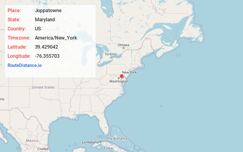
Full AddressJoppatowne, MD 21085
-
Coordinates39.4290415, -76.3557028
-
LocationJoppatowne , Maryland , US
-
TimezoneAmerica/New_York
-
Current Local Time11:21:06 PM America/New_YorkThursday, June 19, 2025
-
Page Views0
About Joppatowne
Joppa is a former colonial town and current planning region of Harford County, Maryland, United States. Joppa was founded as a British settlement on the Gunpowder River in 1707 and designated as the third county seat of Baltimore County in 1712.

Nearby Places
Found 10 places within 50 miles

Edgewood
3.3 mi
5.3 km
Edgewood, MD
Get directions

Bel Air South
5.7 mi
9.2 km
Bel Air South, MD
Get directions

Perry Hall
5.9 mi
9.5 km
Perry Hall, MD
Get directions

Middle River
7.9 mi
12.7 km
Middle River, MD
Get directions

Rossville
8.8 mi
14.2 km
Rossville, MD
Get directions

Bel Air North
9.2 mi
14.8 km
Bel Air North, MD
Get directions

Carney
9.3 mi
15.0 km
Carney, MD
Get directions

Essex
10.4 mi
16.7 km
Essex, MD 21221
Get directions

Parkville
10.5 mi
16.9 km
Parkville, MD
Get directions

Rosedale
11.4 mi
18.3 km
Rosedale, MD
Get directions
Location Links
Local Weather
Weather Information
Coming soon!
Location Map
Static map view of Joppatowne, Maryland
Browse Places by Distance
Places within specific distances from Joppatowne
Short Distances
Long Distances
Click any distance to see all places within that range from Joppatowne. Distances shown in miles (1 mile ≈ 1.61 kilometers).