Distance to Josephs Mills, West Virginia

Calculating Your Route
Just a moment while we process your request...
Location Information
-
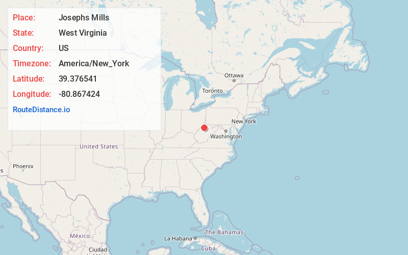
Full AddressJosephs Mills, WV 26320
-
Coordinates39.376541, -80.867424
-
LocationJosephs Mills , West Virginia , US
-
TimezoneAmerica/New_York
-
Current Local Time3:11:36 AM America/New_YorkFriday, June 20, 2025
-
Page Views0
About Josephs Mills
Josephs Mills is an unincorporated community in Tyler County, West Virginia, United States. It was the birthplace for Cecil H. Underwood, who was the Governor of West Virginia from 1957 to 1961, and from 1997 to 2001.
Nearby Places
Found 10 places within 50 miles

Wilbur
2.3 mi
3.7 km
Wilbur, WV 26320
Get directions
Mountain
2.5 mi
4.0 km
Mountain, WV 26415
Get directions
Bearsville
3.3 mi
5.3 km
Bearsville, WV 26149
Get directions
Centerville
4.1 mi
6.6 km
Centerville, WV 26320
Get directions
Stanley
4.9 mi
7.9 km
Stanley, WV 26415
Get directions
McKim
5.0 mi
8.0 km
McKim, WV 26149
Get directions
Shirley
5.6 mi
9.0 km
Shirley, WV 26320
Get directions
Big Moses
5.8 mi
9.3 km
Big Moses, WV 26320
Get directions
Locke
6.1 mi
9.8 km
Locke, WV 26149
Get directions
Wick
6.2 mi
10.0 km
Wick, WV 26149
Get directions
Location Links
Local Weather
Weather Information
Coming soon!
Location Map
Static map view of Josephs Mills, West Virginia
Browse Places by Distance
Places within specific distances from Josephs Mills
Short Distances
Long Distances
Click any distance to see all places within that range from Josephs Mills. Distances shown in miles (1 mile ≈ 1.61 kilometers).