Distance to Joyfield Township, Michigan

Calculating Your Route
Just a moment while we process your request...
Location Information
-
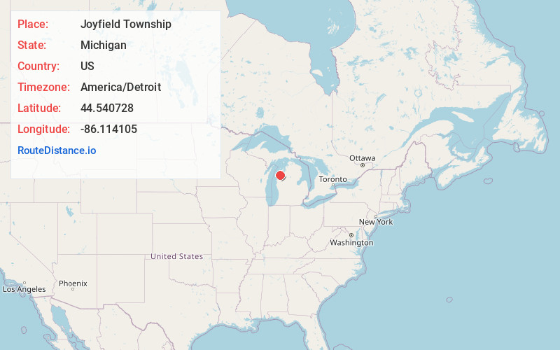
Full AddressJoyfield Township, MI
-
Coordinates44.5407276, -86.1141045
-
LocationJoyfield Township , Michigan , US
-
TimezoneAmerica/Detroit
-
Current Local Time11:38:48 AM America/DetroitFriday, June 6, 2025
-
Page Views0
About Joyfield Township
Joyfield Township is a civil township of Benzie County in the U.S. state of Michigan. The population was 763 at the 2020 census. The township is located in the south central portion of the county. US 31 and M-115 converge at the northern edge of the township.


Nearby Places
Found 10 places within 50 miles

Malcolm
3.9 mi
6.3 km
Malcolm, Pleasanton Township, MI 49614
Get directions

Blaine Township
4.0 mi
6.4 km
Blaine Township, MI
Get directions
Watervale
5.0 mi
8.0 km
Watervale, Blaine Township, MI 49613
Get directions
Pleasanton Township
5.2 mi
8.4 km
Pleasanton Township, MI
Get directions
Humphrey
5.4 mi
8.7 km
Humphrey, Pleasanton Township, MI 49614
Get directions

Weldon Township
5.5 mi
8.9 km
Weldon Township, MI
Get directions

Benzonia
5.6 mi
9.0 km
Benzonia, MI 49616
Get directions

Beulah
6.4 mi
10.3 km
Beulah, MI
Get directions

Elberta
7.8 mi
12.6 km
Elberta, MI
Get directions

Benzonia Township
7.9 mi
12.7 km
Benzonia Township, MI
Get directions
Location Links
Local Weather
Weather Information
Coming soon!
Location Map
Static map view of Joyfield Township, Michigan
Browse Places by Distance
Places within specific distances from Joyfield Township
Short Distances
Long Distances
Click any distance to see all places within that range from Joyfield Township. Distances shown in miles (1 mile ≈ 1.61 kilometers).