Distance to Juniper, Georgia

Calculating Your Route
Just a moment while we process your request...
Location Information
-
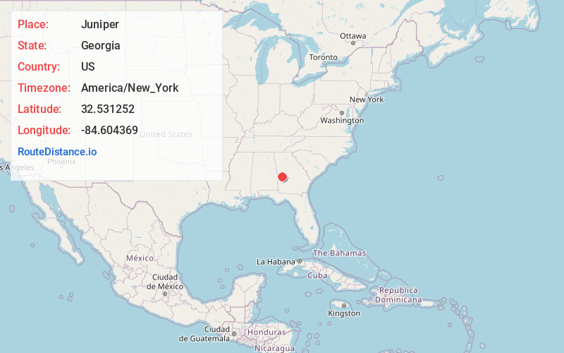
Full AddressJuniper, GA 31801
-
Coordinates32.5312519, -84.6043688
-
LocationJuniper , Georgia , US
-
TimezoneAmerica/New_York
-
Current Local Time11:05:54 AM America/New_YorkTuesday, June 24, 2025
-
Page Views0
About Juniper
Juniper juu-nih-pər is an unincorporated community in Marion County, Georgia, United States. It lies along State Route 355 on the Talbot County line, to the north of the city of Buena Vista, the county seat of Marion County. Its elevation is 413 feet. It is part of the Columbus, Georgia Metropolitan Area.
Nearby Places
Found 10 places within 50 miles

Geneva
4.6 mi
7.4 km
Geneva, GA 31801
Get directions
Norwich
9.3 mi
15.0 km
Norwich, GA 31058
Get directions

Junction City
9.8 mi
15.8 km
Junction City, GA 31812
Get directions
Ridgeway
9.9 mi
15.9 km
Ridgeway, GA 31831
Get directions
Eelbeck
10.6 mi
17.1 km
Eelbeck, Cusseta, GA
Get directions

Talbotton
10.8 mi
17.4 km
Talbotton, GA 31827
Get directions
Mauk
10.9 mi
17.5 km
Mauk, GA 31058
Get directions

Waverly Hall
13.1 mi
21.1 km
Waverly Hall, GA 31831
Get directions
Ellerslie
13.4 mi
21.6 km
Ellerslie, GA 31807
Get directions
Po Biddy Crossroads
13.4 mi
21.6 km
Po Biddy Crossroads, GA 31827
Get directions
Location Links
Local Weather
Weather Information
Coming soon!
Location Map
Static map view of Juniper, Georgia
Browse Places by Distance
Places within specific distances from Juniper
Short Distances
Long Distances
Click any distance to see all places within that range from Juniper. Distances shown in miles (1 mile ≈ 1.61 kilometers).