Distance to Kalapana, Hawaii

Calculating Your Route
Just a moment while we process your request...
Location Information
-
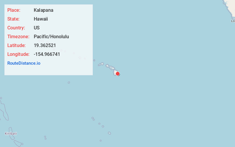
Full AddressKalapana, HI 96778
-
Coordinates19.3625206, -154.9667406
-
LocationKalapana , Hawaii , US
-
TimezonePacific/Honolulu
-
Current Local Time9:19:55 AM Pacific/HonoluluThursday, June 19, 2025
-
Page Views0
About Kalapana
Kalapana is a town and a region in the Puna District on the Island of Hawaiʻi in the Hawaiian Islands. The town was the original location of the Star of the Sea Painted Church.


Nearby Places
Found 10 places within 50 miles

Leilani Estates
7.7 mi
12.4 km
Leilani Estates, HI 96778
Get directions

Pāhoa
9.3 mi
15.0 km
Pāhoa, HI 96778
Get directions

Nanawale Estates
10.6 mi
17.1 km
Nanawale Estates, HI 96778
Get directions

Fern Acres
11.4 mi
18.3 km
Fern Acres, HI
Get directions

Ainaloa
11.5 mi
18.5 km
Ainaloa, HI 96778
Get directions

Hawaiian Beaches
12.8 mi
20.6 km
Hawaiian Beaches, HI 96778
Get directions

Fern Forest
12.8 mi
20.6 km
Fern Forest, HI 96778
Get directions

Eden Roc
13.1 mi
21.1 km
Eden Roc, HI
Get directions

Hawaiian Acres
13.3 mi
21.4 km
Hawaiian Acres, HI
Get directions
Orchidlands Estates
14.2 mi
22.9 km
Orchidlands Estates, HI
Get directions
Location Links
Local Weather
Weather Information
Coming soon!
Location Map
Static map view of Kalapana, Hawaii
Browse Places by Distance
Places within specific distances from Kalapana
Short Distances
Long Distances
Click any distance to see all places within that range from Kalapana. Distances shown in miles (1 mile ≈ 1.61 kilometers).