Distance to Kalihi - Palama, Hawaii

Calculating Your Route
Just a moment while we process your request...
Location Information
-
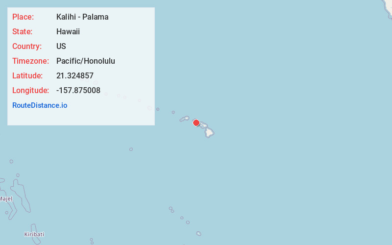
Full AddressKalihi - Palama, Honolulu, HI
-
Coordinates21.3248569, -157.8750076
-
NeighborhoodKalihi - Palama
-
LocationHonolulu , Hawaii , US
-
TimezonePacific/Honolulu
-
Current Local Time11:53:51 PM Pacific/HonoluluThursday, June 5, 2025
-
Page Views0
About Kalihi - Palama
Kalihi is a neighborhood of Honolulu on the island of Oʻahu in Hawaiʻi, United States. Split by Likelike Highway, it is flanked by Liliha, Chinatown, and Downtown Honolulu to the east and Mapunapuna, Moanalua, and Salt Lake to the west.


Nearby Places
Found 10 places within 50 miles

Honolulu
1.5 mi
2.4 km
Honolulu, HI
Get directions

Halawa
4.4 mi
7.1 km
Halawa, HI
Get directions

Aiea
5.2 mi
8.4 km
Aiea, HI 96701
Get directions

Waimalu
6.2 mi
10.0 km
Waimalu, HI 96701
Get directions

Maunawili Falls
6.8 mi
10.9 km
Maunawili Falls, Hawaii 96734
Get directions

Iroquois Point
7.1 mi
11.4 km
Iroquois Point, HI 96706
Get directions

Kaneohe
7.3 mi
11.7 km
Kaneohe, HI 96744
Get directions

Waiau
7.3 mi
11.7 km
Waiau, Pearl City, HI 96782
Get directions

Pearl City
7.7 mi
12.4 km
Pearl City, HI
Get directions

Heeia
8.2 mi
13.2 km
Heeia, HI 96744
Get directions
Location Links
Local Weather
Weather Information
Coming soon!
Location Map
Static map view of Kalihi - Palama, Hawaii
Browse Places by Distance
Places within specific distances from Kalihi - Palama
Short Distances
Long Distances
Click any distance to see all places within that range from Kalihi - Palama. Distances shown in miles (1 mile ≈ 1.61 kilometers).