Distance to Kamrar, Iowa

Calculating Your Route
Just a moment while we process your request...
Location Information
-
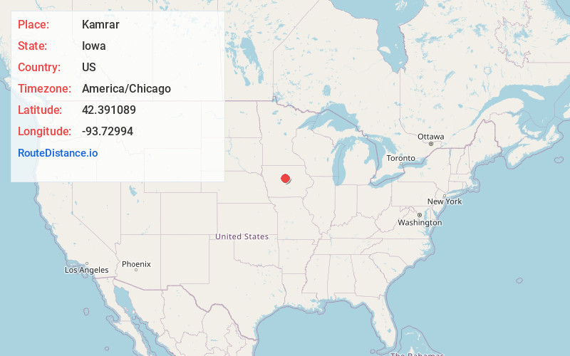
Full AddressKamrar, IA 50132
-
Coordinates42.3910886, -93.72994
-
LocationKamrar , Iowa , US
-
TimezoneAmerica/Chicago
-
Current Local Time1:45:06 AM America/ChicagoWednesday, June 25, 2025
-
Page Views0
About Kamrar
Kamrar is a city in Hamilton County, Iowa, United States. The population was 179 at the time of the 2020 census.


Nearby Places
Found 10 places within 50 miles

Webster City
7.0 mi
11.3 km
Webster City, IA 50595
Get directions

Stanhope
7.8 mi
12.6 km
Stanhope, IA 50246
Get directions

Ellsworth
9.4 mi
15.1 km
Ellsworth, IA 50075
Get directions

Williams
11.6 mi
18.7 km
Williams, IA 50271
Get directions

Stratford
13.0 mi
20.9 km
Stratford, IA 50249
Get directions

Woolstock
13.3 mi
21.4 km
Woolstock, IA 50599
Get directions

Duncombe
14.5 mi
23.3 km
Duncombe, IA 50532
Get directions

Story City
15.7 mi
25.3 km
Story City, IA 50248
Get directions

Radcliffe
16.0 mi
25.7 km
Radcliffe, IA 50230
Get directions
Lehigh
16.6 mi
26.7 km
Lehigh, IA 50557
Get directions
Location Links
Local Weather
Weather Information
Coming soon!
Location Map
Static map view of Kamrar, Iowa
Browse Places by Distance
Places within specific distances from Kamrar
Short Distances
Long Distances
Click any distance to see all places within that range from Kamrar. Distances shown in miles (1 mile ≈ 1.61 kilometers).