Distance to Kanata Manayunk, Indiana

Calculating Your Route
Just a moment while we process your request...
Location Information
-
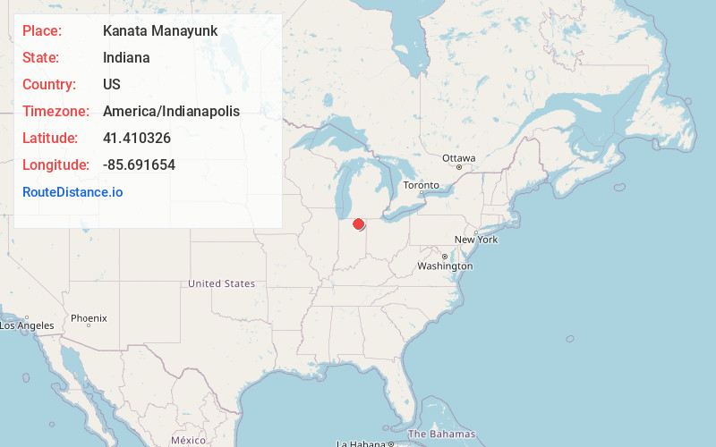
Full AddressKanata Manayunk, Turkey Creek Township, IN 46567
-
Coordinates41.4103256, -85.6916542
-
LocationTurkey Creek Township , Indiana , US
-
TimezoneAmerica/Indianapolis
-
Page Views0
Nearby Places
Found 10 places within 50 miles

Black Point
0.6 mi
1.0 km
Black Point, Enchanted Hills, IN 46567
Get directions
Sunrise Beach
0.6 mi
1.0 km
Sunrise Beach, Turkey Creek Township, IN 46567
Get directions
Enchanted Hills
1.4 mi
2.3 km
Enchanted Hills, IN
Get directions
Marineland Gardens
2.3 mi
3.7 km
Marineland Gardens, Turkey Creek Township, IN 46567
Get directions
Oakwood Park
2.4 mi
3.9 km
Oakwood Park, Syracuse, IN 46567
Get directions
Buttermilk Point
2.5 mi
4.0 km
Buttermilk Point, IN 46567
Get directions
Wawasee Village
2.9 mi
4.7 km
Wawasee Village, Syracuse, IN 46567
Get directions

Syracuse
3.4 mi
5.5 km
Syracuse, IN 46567
Get directions

Cromwell
4.0 mi
6.4 km
Cromwell, IN 46732
Get directions

North Webster
5.9 mi
9.5 km
North Webster, IN 46555
Get directions
Location Links
Local Weather
Weather Information
Coming soon!
Location Map
Static map view of Kanata Manayunk, Indiana
Browse Places by Distance
Places within specific distances from Kanata Manayunk
Short Distances
Long Distances
Click any distance to see all places within that range from Kanata Manayunk. Distances shown in miles (1 mile ≈ 1.61 kilometers).