Distance to Kane, Wyoming

Calculating Your Route
Just a moment while we process your request...
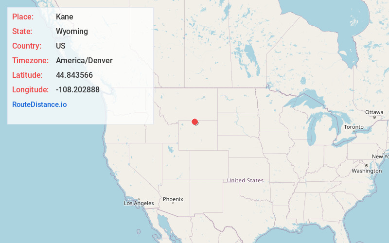
Location Information
-
Full AddressKane, WY 82431
-
Coordinates44.8435662, -108.2028883
-
LocationKane , Wyoming , US
-
TimezoneAmerica/Denver
-
Current Local Time7:29:29 AM America/DenverThursday, June 19, 2025
-
Page Views0
About Kane
Kane is a ghost town that existed 2 miles south of the confluence of the Shoshone River and the Bighorn River in Big Horn County, northern Wyoming, United States.
Kane started as a lumber shipping point. In 1832, wagon trains of Captain B.L.E. Bonneville passed through Kane.
Nearby Places
Found 10 places within 50 miles

Lovell
9.2 mi
14.8 km
Lovell, WY 82431
Get directions

Cowley
13.3 mi
21.4 km
Cowley, WY
Get directions
Byron
15.2 mi
24.5 km
Byron, WY 82412
Get directions
Deaver
19.6 mi
31.5 km
Deaver, WY 82421
Get directions

Frannie
22.2 mi
35.7 km
Frannie, WY
Get directions

Garland
22.9 mi
36.9 km
Garland, WY 82435
Get directions

Emblem
25.1 mi
40.4 km
Emblem, WY 82422
Get directions

Greybull
25.5 mi
41.0 km
Greybull, WY 82426
Get directions
Warren
26.8 mi
43.1 km
Warren, MT
Get directions

Powell
27.9 mi
44.9 km
Powell, WY 82435
Get directions
Location Links
Local Weather
Weather Information
Coming soon!
Location Map
Static map view of Kane, Wyoming
Browse Places by Distance
Places within specific distances from Kane
Short Distances
Long Distances
Click any distance to see all places within that range from Kane. Distances shown in miles (1 mile ≈ 1.61 kilometers).