Distance to Kangley, Illinois

Calculating Your Route
Just a moment while we process your request...
Location Information
-
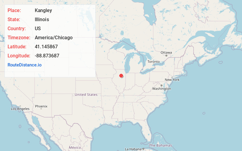
Full AddressKangley, IL 61364
-
Coordinates41.145867, -88.873687
-
LocationKangley , Illinois , US
-
TimezoneAmerica/Chicago
-
Current Local Time7:36:34 PM America/ChicagoSaturday, June 14, 2025
-
Page Views0
About Kangley
Kangley is a village in LaSalle County, Illinois, United States. The population was 235 at the 2020 census, down from 251 at the 2010 census. It is part of the Ottawa Micropolitan Statistical Area. It is a part of the geographic region known as Streatorland.

Nearby Places
Found 10 places within 50 miles

Streator
2.6 mi
4.2 km
Streator, IL 61364
Get directions

Grand Ridge
6.7 mi
10.8 km
Grand Ridge, IL 61325
Get directions

Lostant
9.7 mi
15.6 km
Lostant, IL 61334
Get directions
Tonica
11.1 mi
17.9 km
Tonica, IL 61370
Get directions

Wenona
11.2 mi
18.0 km
Wenona, IL 61377
Get directions

Ransom
11.7 mi
18.8 km
Ransom, IL 60470
Get directions

Naplate
13.0 mi
20.9 km
Naplate, IL 61350
Get directions

Cornell
13.1 mi
21.1 km
Cornell, IL 61319
Get directions

Ottawa
13.9 mi
22.4 km
Ottawa, IL
Get directions

Oglesby
14.1 mi
22.7 km
Oglesby, IL 61348
Get directions
Location Links
Local Weather
Weather Information
Coming soon!
Location Map
Static map view of Kangley, Illinois
Browse Places by Distance
Places within specific distances from Kangley
Short Distances
Long Distances
Click any distance to see all places within that range from Kangley. Distances shown in miles (1 mile ≈ 1.61 kilometers).