Distance to Kangley, Washington

Calculating Your Route
Just a moment while we process your request...
Location Information
-
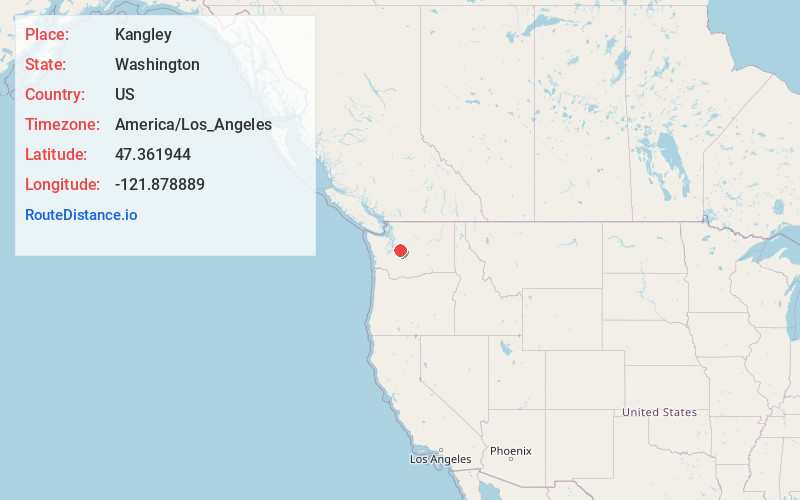
Full AddressKangley, WA 98051
-
Coordinates47.361944, -121.878889
-
LocationKangley , Washington , US
-
TimezoneAmerica/Los_Angeles
-
Current Local Time2:17:59 AM America/Los_AngelesFriday, May 30, 2025
-
Page Views0
About Kangley
Kangley is an unincorporated community in King County, Washington, United States. It is located east of Maple Valley, Washington and north of Kanaskat-Palmer State Park.
Kangley is located 29 miles southeast of Seattle and was on the Northern Pacific and Milwaukee Railroad line.
Nearby Places
Found 10 places within 50 miles

Ravensdale
5.0 mi
8.0 km
Ravensdale, WA 98051
Get directions

Lemolo
6.2 mi
10.0 km
Lemolo, WA 98051
Get directions
Hobart
6.3 mi
10.1 km
Hobart, WA
Get directions
Naco
6.3 mi
10.1 km
Naco, WA 98022
Get directions

Black Diamond
6.9 mi
11.1 km
Black Diamond, WA
Get directions

Wilderness Rim
7.8 mi
12.6 km
Wilderness Rim, WA 98045
Get directions

Maple Valley
8.0 mi
12.9 km
Maple Valley, WA 98038
Get directions

Mirrormont
8.8 mi
14.2 km
Mirrormont, WA
Get directions

Riverbend
9.4 mi
15.1 km
Riverbend, WA 98045
Get directions

North Bend
10.2 mi
16.4 km
North Bend, WA 98045
Get directions
Location Links
Local Weather
Weather Information
Coming soon!
Location Map
Static map view of Kangley, Washington
Browse Places by Distance
Places within specific distances from Kangley
Short Distances
Long Distances
Click any distance to see all places within that range from Kangley. Distances shown in miles (1 mile ≈ 1.61 kilometers).