Distance to Kapolei, Hawaii

Calculating Your Route
Just a moment while we process your request...
Location Information
-
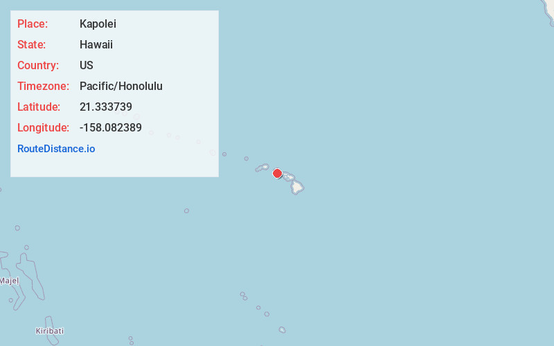
Full AddressKapolei, HI
-
Coordinates21.3337389, -158.0823892
-
LocationKapolei , Hawaii , US
-
TimezonePacific/Honolulu
-
Current Local Time11:29:50 PM Pacific/HonoluluTuesday, June 17, 2025
-
Page Views0
About Kapolei
Kapolei is a planned community in the City and County of Honolulu, Hawaiʻi, United States, on the island of Oʻahu. In 1977, the government designated it as the "second city" of Oʻahu, in relation to Honolulu.


Nearby Places
Found 6 places within 50 miles

Waipahu
6.2 mi
10.0 km
Waipahu, HI 96797
Get directions

Pearl City
8.2 mi
13.2 km
Pearl City, HI
Get directions

Mililani
9.2 mi
14.8 km
Mililani, HI 96789
Get directions

Honolulu
14.5 mi
23.3 km
Honolulu, HI
Get directions

Kaneohe
18.8 mi
30.3 km
Kaneohe, HI 96744
Get directions

Kailua
22.2 mi
35.7 km
Kailua, HI
Get directions
Location Links
Local Weather
Weather Information
Coming soon!
Location Map
Static map view of Kapolei, Hawaii
Browse Places by Distance
Places within specific distances from Kapolei
Short Distances
Long Distances
Click any distance to see all places within that range from Kapolei. Distances shown in miles (1 mile ≈ 1.61 kilometers).