Distance to Karthaus Township, Pennsylvania

Calculating Your Route
Just a moment while we process your request...
Location Information
-
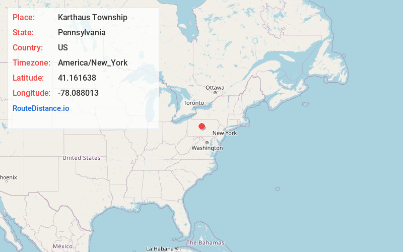
Full AddressKarthaus Township, PA
-
Coordinates41.1616377, -78.0880129
-
LocationKarthaus Township , Pennsylvania , US
-
TimezoneAmerica/New_York
-
Current Local Time7:10:07 AM America/New_YorkSunday, June 1, 2025
-
Page Views0
About Karthaus Township
Karthaus Township is a township in Clearfield County, Pennsylvania, United States. The population was 819 at the 2020 census.
The township was named after Peter A. Karthaus, the proprietor of a local blast furnace.


Nearby Places
Found 10 places within 50 miles

Pottersdale
1.4 mi
2.3 km
Pottersdale, PA 16871
Get directions

Belford
2.3 mi
3.7 km
Belford, Karthaus Township, PA 16845
Get directions

Karthaus
3.1 mi
5.0 km
Karthaus, PA 16845
Get directions
Piper
3.4 mi
5.5 km
Piper, Karthaus Township, PA 16845
Get directions

West Keating Township
4.2 mi
6.8 km
West Keating Township, PA
Get directions

West Branch Susquehanna River
4.6 mi
7.4 km
West Branch Susquehanna River, Pennsylvania
Get directions
Keewaydin
5.3 mi
8.5 km
Keewaydin, Covington Township, PA 16836
Get directions
Pine Glen
5.3 mi
8.5 km
Pine Glen, PA 16845
Get directions

Burnside Township
5.8 mi
9.3 km
Burnside Township, PA
Get directions
Birch
6.3 mi
10.1 km
Birch, West Keating Township, PA 16845
Get directions
Location Links
Local Weather
Weather Information
Coming soon!
Location Map
Static map view of Karthaus Township, Pennsylvania
Browse Places by Distance
Places within specific distances from Karthaus Township
Short Distances
Long Distances
Click any distance to see all places within that range from Karthaus Township. Distances shown in miles (1 mile ≈ 1.61 kilometers).