Distance to Kasigluk, Alaska

Calculating Your Route
Just a moment while we process your request...
Location Information
-
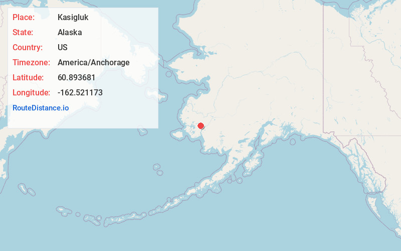
Full AddressKasigluk, AK 99609
-
Coordinates60.8936812, -162.5211733
-
LocationKasigluk , Alaska , US
-
TimezoneAmerica/Anchorage
-
Current Local Time1:17:55 PM America/AnchorageWednesday, June 18, 2025
-
Page Views0
About Kasigluk
Kasigluk is a census-designated place in the Bethel Census Area in the U.S. state of Alaska. At the 2010 census the population was 569, up from 543 in 2000. Kasigluk consists of two smaller villages, called Akiuk and Akula.
Nearby Places
Found 8 places within 50 miles

Nunapitchuk
2.1 mi
3.4 km
Nunapitchuk, AK 99609
Get directions

Napakiak
22.9 mi
36.9 km
Napakiak, AK
Get directions

Bethel
26.2 mi
42.2 km
Bethel, AK
Get directions

Napaskiak
28.6 mi
46.0 km
Napaskiak, AK
Get directions
Akiachak
36.3 mi
58.4 km
Akiachak, AK
Get directions

Kwethluk
37.3 mi
60.0 km
Kwethluk, AK
Get directions
Tuntutuliak
38.4 mi
61.8 km
Tuntutuliak, AK 99680
Get directions

Eek
49.7 mi
80.0 km
Eek, AK
Get directions
Location Links
Local Weather
Weather Information
Coming soon!
Location Map
Static map view of Kasigluk, Alaska
Browse Places by Distance
Places within specific distances from Kasigluk
Short Distances
Long Distances
Click any distance to see all places within that range from Kasigluk. Distances shown in miles (1 mile ≈ 1.61 kilometers).