Distance to Kate, Arkansas

Calculating Your Route
Just a moment while we process your request...
Location Information
-
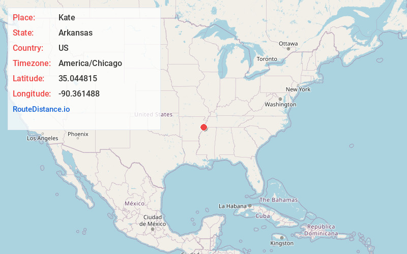
Full AddressKate, AR 72376
-
Coordinates35.0448153, -90.3614876
-
LocationArkansas , US
-
TimezoneAmerica/Chicago
-
Current Local Time10:54:34 PM America/ChicagoSaturday, June 14, 2025
-
Page Views0
Nearby Places
Found 10 places within 50 miles

Topaz
0.6 mi
1.0 km
Topaz, AR 72348
Get directions
Anthonyville
1.3 mi
2.1 km
Anthonyville, AR 72376
Get directions
Simsboro
1.5 mi
2.4 km
Simsboro, AR 72348
Get directions
Neuhardt
2.2 mi
3.5 km
Neuhardt, AR 72376
Get directions
Mallory Spur
2.4 mi
3.9 km
Mallory Spur, AR 72348
Get directions
Chatfield
3.4 mi
5.5 km
Chatfield, AR 72348
Get directions
Proctor
3.5 mi
5.6 km
Proctor, AR 72376
Get directions
Browns
3.6 mi
5.8 km
Browns, AR 72376
Get directions
Democrat
4.0 mi
6.4 km
Democrat, AR 72348
Get directions
Tarsus
4.1 mi
6.6 km
Tarsus, AR 72376
Get directions
Location Links
Local Weather
Weather Information
Coming soon!
Location Map
Static map view of Kate, Arkansas
Browse Places by Distance
Places within specific distances from Kate
Short Distances
Long Distances
Click any distance to see all places within that range from Kate. Distances shown in miles (1 mile ≈ 1.61 kilometers).