Distance to Kathleen, Georgia

Calculating Your Route
Just a moment while we process your request...
Location Information
-
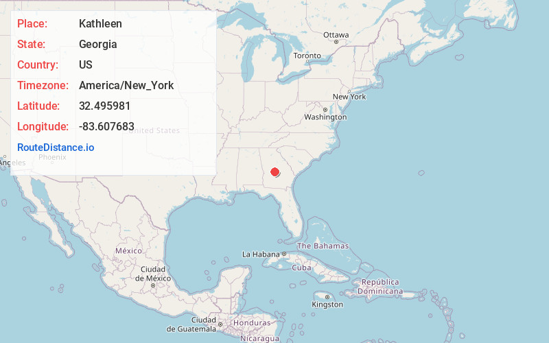
Full AddressKathleen, GA 31047
-
Coordinates32.4959812, -83.607683
-
LocationKathleen , Georgia , US
-
TimezoneAmerica/New_York
-
Current Local Time5:41:58 PM America/New_YorkTuesday, June 17, 2025
-
Page Views0
About Kathleen
Kathleen is an unincorporated community in Houston County, Georgia, United States. It is part of the Warner Robins, Georgia Metropolitan Statistical Area.
It is home to roughly 11,500 people.


Nearby Places
Found 10 places within 50 miles

Pabst
4.0 mi
6.4 km
Pabst, GA 31069
Get directions

Perry
7.7 mi
12.4 km
Perry, GA
Get directions

Warner Robins
8.1 mi
13.0 km
Warner Robins, GA
Get directions

Robins AFB
10.0 mi
16.1 km
Robins AFB, GA 31098
Get directions
Tarversville
10.2 mi
16.4 km
Tarversville, GA 31044
Get directions
Klondike
10.4 mi
16.7 km
Klondike, GA 31036
Get directions

Centerville
10.4 mi
16.7 km
Centerville, GA
Get directions
Oak Knolls
10.5 mi
16.9 km
Oak Knolls, GA 31069
Get directions
Moss Oak
11.1 mi
17.9 km
Moss Oak, Perry, GA 31069
Get directions
Neal
11.2 mi
18.0 km
Neal, Perry, GA 31069
Get directions
Location Links
Local Weather
Weather Information
Coming soon!
Location Map
Static map view of Kathleen, Georgia
Browse Places by Distance
Places within specific distances from Kathleen
Short Distances
Long Distances
Click any distance to see all places within that range from Kathleen. Distances shown in miles (1 mile ≈ 1.61 kilometers).