Distance to Katsbaan, New York

Calculating Your Route
Just a moment while we process your request...
Location Information
-
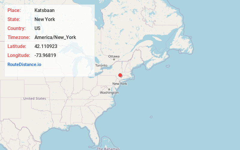
Full AddressKatsbaan, Saugerties, NY 12477
-
Coordinates42.1109233, -73.9681903
-
LocationSaugerties , New York , US
-
TimezoneAmerica/New_York
-
Current Local Time4:55:07 PM America/New_YorkFriday, June 20, 2025
-
Page Views0
About Katsbaan
Katsbaan is a hamlet of the town of Saugerties in Ulster County, New York, United States, located north of the village of Saugerties and south of Catskill.
The hamlet existed at least as far back as the American Revolution.
Nearby Places
Found 10 places within 50 miles

Saugerties
2.4 mi
3.9 km
Saugerties, NY 12477
Get directions

Cementon
3.0 mi
4.8 km
Cementon, NY 12414
Get directions
Manorville
4.1 mi
6.6 km
Manorville, Saugerties, NY 12477
Get directions

Germantown
4.2 mi
6.8 km
Germantown, NY 12526
Get directions

Palenville
5.1 mi
8.2 km
Palenville, NY 12463
Get directions
Glenerie
5.3 mi
8.5 km
Glenerie, Saugerties, NY 12477
Get directions
High Woods
5.5 mi
8.9 km
High Woods, Saugerties, NY 12477
Get directions
Kiskatom
6.1 mi
9.8 km
Kiskatom, Catskill, NY 12414
Get directions
Glenerie Lake Park
6.8 mi
10.9 km
Glenerie Lake Park, Ulster, NY 12477
Get directions
Clermont
7.5 mi
12.1 km
Clermont, NY 12526
Get directions
Location Links
Local Weather
Weather Information
Coming soon!
Location Map
Static map view of Katsbaan, New York
Browse Places by Distance
Places within specific distances from Katsbaan
Short Distances
Long Distances
Click any distance to see all places within that range from Katsbaan. Distances shown in miles (1 mile ≈ 1.61 kilometers).