Distance to Kaymoor, West Virginia

Calculating Your Route
Just a moment while we process your request...
Location Information
-
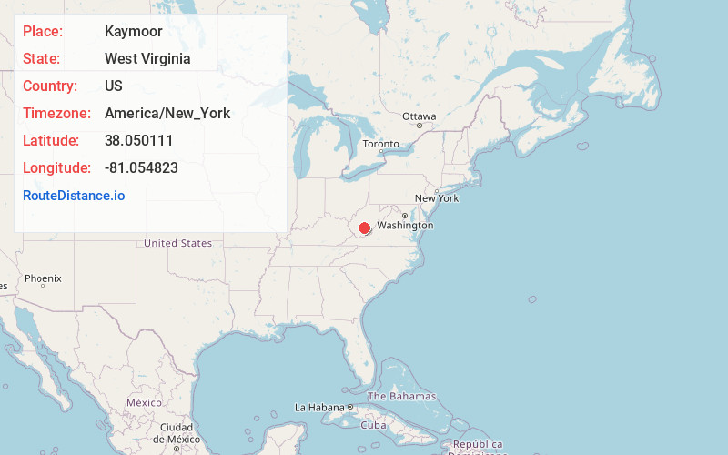
Full AddressKaymoor, WV 25840
-
Coordinates38.0501113, -81.0548225
-
LocationWest Virginia , US
-
TimezoneAmerica/New_York
-
Current Local Time11:08:53 AM America/New_YorkMonday, June 23, 2025
-
Page Views0
About Kaymoor
Kay Moor, also known as Kaymoor, is the site of an abandoned coal mine, coal-processing plant, and coal town near Fayetteville, West Virginia. The town site is located in the New River Gorge at Kaymoor Bottom. It is linked to the mine portal 560 feet above on Sewell Bench in the wall of the Gorge by conveyors.


Nearby Places
Found 10 places within 50 miles

Garten
1.6 mi
2.6 km
Garten, WV 25840
Get directions
Elverton
1.9 mi
3.1 km
Elverton, WV 25840
Get directions
Beauty
2.1 mi
3.4 km
Beauty, WV 25840
Get directions

Fayetteville
2.7 mi
4.3 km
Fayetteville, WV
Get directions
Gatewood
2.7 mi
4.3 km
Gatewood, WV 25840
Get directions
Cunard
3.6 mi
5.8 km
Cunard, WV 25840
Get directions
Brooklyn
4.1 mi
6.6 km
Brooklyn, WV 25840
Get directions
Lookout
4.9 mi
7.9 km
Lookout, WV 25868
Get directions
Bachman
5.0 mi
8.0 km
Bachman, WV 25840
Get directions
Gaymont
5.0 mi
8.0 km
Gaymont, WV 25812
Get directions
Location Links
Local Weather
Weather Information
Coming soon!
Location Map
Static map view of Kaymoor, West Virginia
Browse Places by Distance
Places within specific distances from Kaymoor
Short Distances
Long Distances
Click any distance to see all places within that range from Kaymoor. Distances shown in miles (1 mile ≈ 1.61 kilometers).