Distance to Kearny Mesa, California

Calculating Your Route
Just a moment while we process your request...
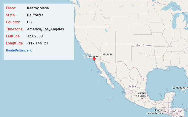
Location Information
-
Full AddressKearny Mesa, San Diego, CA
-
Coordinates32.8283909, -117.1441227
-
NeighborhoodKearny Mesa
-
LocationSan Diego , California , US
-
TimezoneAmerica/Los_Angeles
-
Current Local Time12:17:02 PM America/Los_AngelesThursday, June 19, 2025
-
Page Views0
About Kearny Mesa
Sprawling Kearny Mesa is a largely commercial and industrial area known for a range of Asian grocery stores and restaurants around Convoy Street, from a hip food hall to Korean BBQ restaurants and Sichuan spots. There are also a handful of craft breweries with tasting rooms and outdoor shopping plazas with big-box stores. The small Montgomery-Gibbs Executive Airport includes a flight school and tour companies.


Nearby Places
Found 10 places within 50 miles

Balboa Park
6.5 mi
10.5 km
Balboa Park, San Diego, CA
Get directions

Pacific Beach
7.0 mi
11.3 km
Pacific Beach, California 92109
Get directions

Black's Beach
7.7 mi
12.4 km
Black's Beach, California 92037
Get directions

San Diego
7.8 mi
12.6 km
San Diego, CA
Get directions

La Mesa
8.2 mi
13.2 km
La Mesa, CA
Get directions

Amaya Trolley Station
8.8 mi
14.2 km
Amaya Trolley Station, La Mesa, CA 91942
Get directions

Lemon Grove
8.8 mi
14.2 km
Lemon Grove, CA
Get directions

Santee
9.9 mi
15.9 km
Santee, CA
Get directions


Leaflet © OpenStreetMap contributors
Location Links
Local Weather
Weather Information
Coming soon!
Location Map
Static map view of Kearny Mesa, California
Browse Places by Distance
Places within specific distances from Kearny Mesa
Short Distances
Long Distances
Click any distance to see all places within that range from Kearny Mesa. Distances shown in miles (1 mile ≈ 1.61 kilometers).