Distance to Keego Harbor, Michigan

Calculating Your Route
Just a moment while we process your request...
Location Information
-
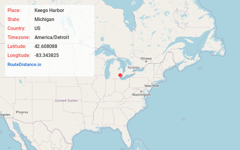
Full AddressKeego Harbor, MI
-
Coordinates42.6080884, -83.3438247
-
LocationKeego Harbor , Michigan , US
-
TimezoneAmerica/Detroit
-
Current Local Time2:26:02 PM America/DetroitTuesday, July 1, 2025
-
Website
-
Page Views0
About Keego Harbor
Keego Harbor is a city in Oakland County in the U.S. state of Michigan. A northern suburb of Detroit, Keego Harbor is located roughly 27 miles from downtown Detroit, and about 3 miles southwest of Pontiac. As of the 2010 census, the city had a population of 2,970.

Nearby Places
Found 10 places within 50 miles

Pontiac
3.4 mi
5.5 km
Pontiac, MI
Get directions

Beverly Hills
7.6 mi
12.2 km
Beverly Hills, MI 48025
Get directions

Farmington Hills
7.6 mi
12.2 km
Farmington Hills, MI
Get directions

Auburn Hills
7.8 mi
12.6 km
Auburn Hills, MI
Get directions

Birmingham
8.0 mi
12.9 km
Birmingham, MI
Get directions

Walled Lake
8.5 mi
13.7 km
Walled Lake, MI 48390
Get directions

Troy
9.9 mi
15.9 km
Troy, MI
Get directions
Lathrup Village
10.1 mi
16.3 km
Lathrup Village, MI 48076
Get directions

Rochester Hills
10.5 mi
16.9 km
Rochester Hills, MI
Get directions
Berkley
10.9 mi
17.5 km
Berkley, MI
Get directions
Location Links
Local Weather
Weather Information
Coming soon!
Location Map
Static map view of Keego Harbor, Michigan
Browse Places by Distance
Places within specific distances from Keego Harbor
Short Distances
Long Distances
Click any distance to see all places within that range from Keego Harbor. Distances shown in miles (1 mile ≈ 1.61 kilometers).