Distance to Keener Township, Indiana

Calculating Your Route
Just a moment while we process your request...
Location Information
-
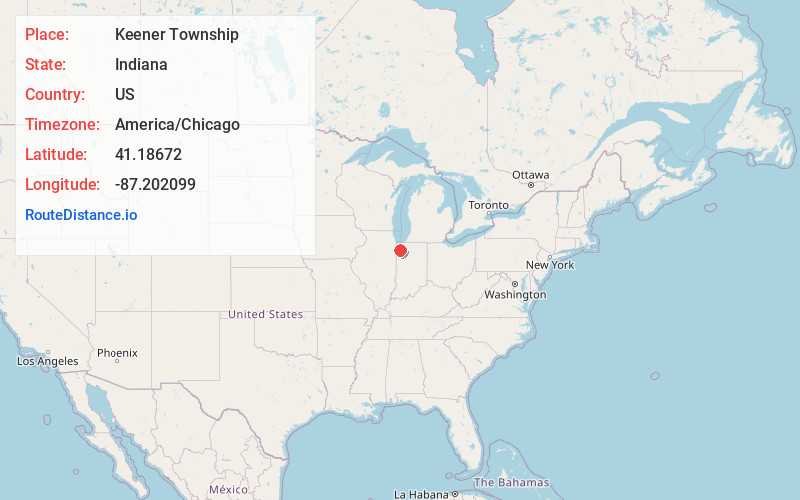
Full AddressKeener Township, IN
-
Coordinates41.1867199, -87.202099
-
LocationKeener Township , Indiana , US
-
TimezoneAmerica/Chicago
-
Current Local Time11:56:12 PM America/ChicagoSunday, June 1, 2025
-
Page Views0
About Keener Township
Keener Township is one of thirteen townships in Jasper County, Indiana, United States. As of the 2020 census, its population was 10,625 and it contained 4,176 housing units.
Nearby Places
Found 10 places within 50 miles

De Motte
0.5 mi
0.8 km
De Motte, IN 46310
Get directions

Deer Park
1.9 mi
3.1 km
Deer Park, Keener Township, IN 46310
Get directions
Kersey
2.4 mi
3.9 km
Kersey, IN 46310
Get directions
Forest City
3.3 mi
5.3 km
Forest City, IN 46310
Get directions

Kniman
4.5 mi
7.2 km
Kniman, IN 46392
Get directions
Stoutsburg
4.6 mi
7.4 km
Stoutsburg, IN 46392
Get directions
Virgie
5.0 mi
8.0 km
Virgie, IN 47978
Get directions

Roselawn
5.0 mi
8.0 km
Roselawn, IN
Get directions
Thayer
6.8 mi
10.9 km
Thayer, IN
Get directions
Range Line
6.9 mi
11.1 km
Range Line, Eagle Creek Township, IN 46341
Get directions
Location Links
Local Weather
Weather Information
Coming soon!
Location Map
Static map view of Keener Township, Indiana
Browse Places by Distance
Places within specific distances from Keener Township
Short Distances
Long Distances
Click any distance to see all places within that range from Keener Township. Distances shown in miles (1 mile ≈ 1.61 kilometers).