Distance to Keewahdin, Michigan

Calculating Your Route
Just a moment while we process your request...
Location Information
-
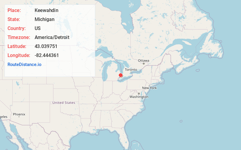
Full AddressKeewahdin, Port Huron, MI 48060
-
Coordinates43.0397514, -82.4443611
-
LocationPort Huron , Michigan , US
-
TimezoneAmerica/Detroit
-
Current Local Time2:04:05 AM America/DetroitThursday, June 19, 2025
-
Page Views0
Nearby Places
Found 10 places within 50 miles

Port Huron
4.9 mi
7.9 km
Port Huron, MI
Get directions

Lakeport
5.7 mi
9.2 km
Lakeport, MI 48059
Get directions

West Tappan
6.9 mi
11.1 km
West Tappan, MI 48074
Get directions
North Lakeport
7.2 mi
11.6 km
North Lakeport, MI 48059
Get directions
Ruby
8.2 mi
13.2 km
Ruby, MI 48049
Get directions

Marysville
9.0 mi
14.5 km
Marysville, MI
Get directions

Jeddo
10.5 mi
16.9 km
Jeddo, MI 48032
Get directions
Fargo
11.7 mi
18.8 km
Fargo, MI 48006
Get directions

Smiths Creek
11.9 mi
19.2 km
Smiths Creek, MI 48074
Get directions

Huronia Heights
12.6 mi
20.3 km
Huronia Heights, Worth Township, MI 48450
Get directions
Location Links
Local Weather
Weather Information
Coming soon!
Location Map
Static map view of Keewahdin, Michigan
Browse Places by Distance
Places within specific distances from Keewahdin
Short Distances
Long Distances
Click any distance to see all places within that range from Keewahdin. Distances shown in miles (1 mile ≈ 1.61 kilometers).