Distance to Keldron, South Dakota

Calculating Your Route
Just a moment while we process your request...
Location Information
-
Full AddressKeldron, SD 57634
-
Coordinates45.9319474, -101.809582
-
LocationKeldron , South Dakota , US
-
TimezoneAmerica/Denver
-
Current Local Time4:56:30 PM America/DenverTuesday, May 20, 2025
-
Page Views0
About Keldron
Keldron is an unincorporated community in Corson County, South Dakota, United States. Although not tracked by the Census Bureau, Keldron has been assigned the ZIP code of 57634.
Keldron was laid out in 1909, and named for its location in a caldron-shaped valley.
Nearby Places
Found 10 places within 50 miles

Morristown
4.2 mi
6.8 km
Morristown, SD 57645
Get directions

Lemmon
16.8 mi
27.0 km
Lemmon, SD 57638
Get directions

McIntosh
22.1 mi
35.6 km
McIntosh, SD 57641
Get directions

Bentley
30.0 mi
48.3 km
Bentley, ND 58562
Get directions
Leith
30.6 mi
49.2 km
Leith, ND 58529
Get directions

New Leipzig
31.3 mi
50.4 km
New Leipzig, ND 58562
Get directions
Haynes
31.9 mi
51.3 km
Haynes, ND 58639
Get directions
Heil
31.9 mi
51.3 km
Heil, ND 58533
Get directions

Elgin
32.7 mi
52.6 km
Elgin, ND 58533
Get directions
Carson
35.6 mi
57.3 km
Carson, ND 58529
Get directions
Location Links
Local Weather
Weather Information
Coming soon!
Location Map
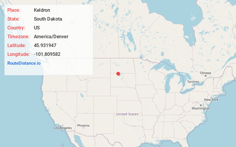
Static map view of Keldron, South Dakota
Browse Places by Distance
Places within specific distances from Keldron
Short Distances
Long Distances
Click any distance to see all places within that range from Keldron. Distances shown in miles (1 mile ≈ 1.61 kilometers).