Distance to Kelford, North Carolina

Calculating Your Route
Just a moment while we process your request...
Location Information
-
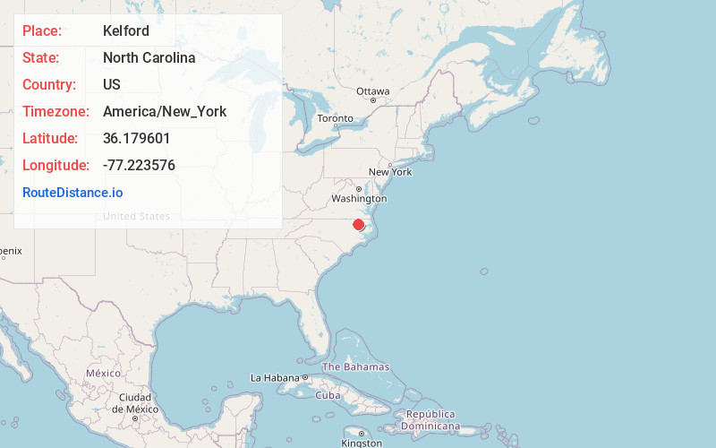
Full AddressKelford, NC 27847
-
Coordinates36.1796007, -77.2235757
-
LocationKelford , North Carolina , US
-
TimezoneAmerica/New_York
-
Current Local Time6:50:27 PM America/New_YorkTuesday, June 17, 2025
-
Page Views0
About Kelford
Kelford is a town in Bertie County, North Carolina, United States. The population was 251 at the 2010 census.
Nearby Places
Found 10 places within 50 miles

Roxobel
2.0 mi
3.2 km
Roxobel, NC
Get directions
Lewiston Woodville
4.7 mi
7.6 km
Lewiston Woodville, NC 27849
Get directions
Aulander
7.0 mi
11.3 km
Aulander, NC 27805
Get directions
Rich Square
7.4 mi
11.9 km
Rich Square, NC 27869
Get directions
Woodland
10.5 mi
16.9 km
Woodland, NC
Get directions

Scotland Neck
11.5 mi
18.5 km
Scotland Neck, NC 27874
Get directions
Hobgood
14.2 mi
22.9 km
Hobgood, NC 27843
Get directions

Ahoskie
15.2 mi
24.5 km
Ahoskie, NC 27910
Get directions
Oak City
15.6 mi
25.1 km
Oak City, NC 27857
Get directions
Conway
17.8 mi
28.6 km
Conway, NC 27820
Get directions
Location Links
Local Weather
Weather Information
Coming soon!
Location Map
Static map view of Kelford, North Carolina
Browse Places by Distance
Places within specific distances from Kelford
Short Distances
Long Distances
Click any distance to see all places within that range from Kelford. Distances shown in miles (1 mile ≈ 1.61 kilometers).