Distance to Keller, Virginia

Calculating Your Route
Just a moment while we process your request...
Location Information
-
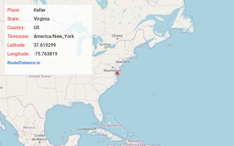
Full AddressKeller, VA
-
Coordinates37.6192992, -75.7638185
-
LocationKeller , Virginia , US
-
TimezoneAmerica/New_York
-
Current Local Time1:17:23 AM America/New_YorkFriday, June 20, 2025
-
Page Views0
About Keller
Keller is a town in Accomack County, Virginia, United States. The population was 178 at the 2010 census.
Nearby Places
Found 10 places within 50 miles

Melfa
2.4 mi
3.9 km
Melfa, VA 23410
Get directions
Savageville
4.6 mi
7.4 km
Savageville, VA 23417
Get directions
Quinby
4.8 mi
7.7 km
Quinby, VA
Get directions

Onley
5.6 mi
9.0 km
Onley, VA
Get directions

Onancock
6.4 mi
10.3 km
Onancock, VA 23417
Get directions

Exmore
6.9 mi
11.1 km
Exmore, VA 23350
Get directions

Accomac
8.8 mi
14.2 km
Accomac, VA 23301
Get directions
Pastoria
11.2 mi
18.0 km
Pastoria, VA
Get directions
Nassawadox
11.2 mi
18.0 km
Nassawadox, VA
Get directions

Parksley
12.8 mi
20.6 km
Parksley, VA 23421
Get directions
Location Links
Local Weather
Weather Information
Coming soon!
Location Map
Static map view of Keller, Virginia
Browse Places by Distance
Places within specific distances from Keller
Short Distances
Long Distances
Click any distance to see all places within that range from Keller. Distances shown in miles (1 mile ≈ 1.61 kilometers).