Distance to Kemp Mill, Maryland

Calculating Your Route
Just a moment while we process your request...
Location Information
-
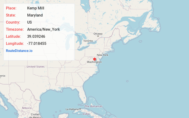
Full AddressKemp Mill, MD
-
Coordinates39.0392455, -77.0184546
-
LocationKemp Mill , Maryland , US
-
TimezoneAmerica/New_York
-
Current Local Time6:50:02 AM America/New_YorkSaturday, June 21, 2025
-
Page Views0
About Kemp Mill
Kemp Mill is a census-designated place and an unincorporated census area in Montgomery County, Maryland, United States. It is known for its creekside walkways, calm suburban atmosphere, Brookside Gardens, and numerous hiking trails.


Nearby Places
Found 10 places within 50 miles

White Oak
1.4 mi
2.3 km
White Oak, MD
Get directions

Silver Spring
3.4 mi
5.5 km
Silver Spring, MD
Get directions

Adelphi
3.5 mi
5.6 km
Adelphi, MD
Get directions

Langley Park
4.0 mi
6.4 km
Langley Park, MD
Get directions

Aspen Hill
4.0 mi
6.4 km
Aspen Hill, MD
Get directions

Fairland
4.1 mi
6.6 km
Fairland, MD
Get directions

Takoma Park
4.3 mi
6.9 km
Takoma Park, MD
Get directions

Calverton
4.6 mi
7.4 km
Calverton, MD
Get directions

Cloverly
5.0 mi
8.0 km
Cloverly, MD
Get directions

North Bethesda
5.4 mi
8.7 km
North Bethesda, MD
Get directions
Location Links
Local Weather
Weather Information
Coming soon!
Location Map
Static map view of Kemp Mill, Maryland
Browse Places by Distance
Places within specific distances from Kemp Mill
Short Distances
Long Distances
Click any distance to see all places within that range from Kemp Mill. Distances shown in miles (1 mile ≈ 1.61 kilometers).