Distance to Kenilworth, New Jersey

Calculating Your Route
Just a moment while we process your request...
Location Information
-
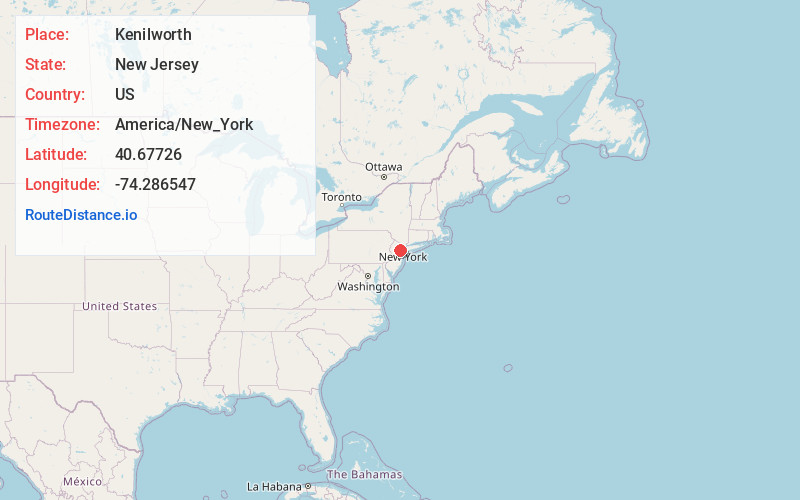
Full AddressKenilworth, NJ
-
Coordinates40.6772596, -74.2865467
-
LocationKenilworth , New Jersey , US
-
TimezoneAmerica/New_York
-
Current Local Time5:30:13 PM America/New_YorkTuesday, June 17, 2025
-
Website
-
Page Views0
About Kenilworth
Kenilworth is a borough in Union County, in the U.S. state of New Jersey. As of the 2020 United States census, the borough's population was 8,427, an increase of 513 from the 2010 census count of 7,914, which in turn reflected an increase of 239 from the 7,675 counted in the 2000 census.


Nearby Places
Found 10 places within 50 miles

Union
1.6 mi
2.6 km
Union, NJ
Get directions

Roselle Park
1.6 mi
2.6 km
Roselle Park, NJ
Get directions

Cranford
1.8 mi
2.9 km
Cranford, NJ
Get directions

Roselle
1.8 mi
2.9 km
Roselle, NJ
Get directions

Springfield
2.5 mi
4.0 km
Springfield, NJ
Get directions

Millburn
3.4 mi
5.5 km
Millburn, NJ
Get directions

Hillside
3.8 mi
6.1 km
Hillside, NJ
Get directions

Westfield
3.8 mi
6.1 km
Westfield, NJ
Get directions

Clark
3.9 mi
6.3 km
Clark, NJ
Get directions

Elizabeth
4.0 mi
6.4 km
Elizabeth, NJ
Get directions
Location Links
Local Weather
Weather Information
Coming soon!
Location Map
Static map view of Kenilworth, New Jersey
Browse Places by Distance
Places within specific distances from Kenilworth
Short Distances
Long Distances
Click any distance to see all places within that range from Kenilworth. Distances shown in miles (1 mile ≈ 1.61 kilometers).