Distance to Kennesaw Mountain National Battlefield Park, Georgia

Calculating Your Route
Just a moment while we process your request...
Location Information
-
Full AddressKennesaw Mountain National Battlefield Park, 900 Kennesaw Mountain Dr, Kennesaw, GA 30152
-
Coordinates33.9513354, -84.5963993
-
Street900 Kennesaw Mountain Dr
-
LocationKennesaw , Georgia , US
-
TimezoneAmerica/New_York
-
Current Local Time9:33:25 AM America/New_YorkSunday, June 1, 2025
-
Page Views0
About Kennesaw Mountain National Battlefield Park
Preserved site of an 1864 Civil War battle, with a visitor's center featuring a film & artifacts.


Nearby Places
Found 10 places within 50 miles

Arbor Forest
1.7 mi
2.7 km
Arbor Forest, GA 30064
Get directions
Oakton
1.8 mi
2.9 km
Oakton, Marietta, GA 30064
Get directions

Marietta
2.7 mi
4.3 km
Marietta, GA
Get directions
Wynford Chase
3.2 mi
5.1 km
Wynford Chase, GA 30064
Get directions
Elizabeth
3.3 mi
5.3 km
Elizabeth, Marietta, GA 30066
Get directions
Fair Oaks
3.5 mi
5.6 km
Fair Oaks, GA
Get directions
Greyfield North
4.7 mi
7.6 km
Greyfield North, GA 30152
Get directions

Country Lake
4.9 mi
7.9 km
Country Lake, GA 30127
Get directions

Kennesaw
5.1 mi
8.2 km
Kennesaw, GA
Get directions
Blackwells
5.4 mi
8.7 km
Blackwells, Marietta, GA 30066
Get directions
Location Links
Local Weather
Weather Information
Coming soon!
Location Map
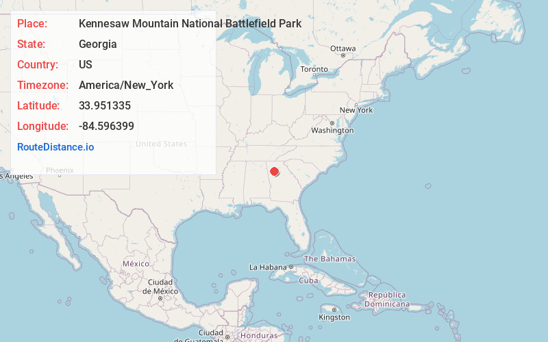
Static map view of Kennesaw Mountain National Battlefield Park, Georgia
Browse Places by Distance
Places within specific distances from Kennesaw Mountain National Battlefield Park
Short Distances
Long Distances
Click any distance to see all places within that range from Kennesaw Mountain National Battlefield Park. Distances shown in miles (1 mile ≈ 1.61 kilometers).