Distance to Kent, Alabama

Calculating Your Route
Just a moment while we process your request...
Location Information
-
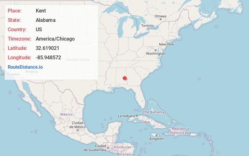
Full AddressKent, AL 36078
-
Coordinates32.6190212, -85.9485721
-
LocationKent , Alabama , US
-
TimezoneAmerica/Chicago
-
Current Local Time5:45:21 AM America/ChicagoThursday, June 19, 2025
-
Page Views0
About Kent
Kent is an unincorporated community in Elmore County, Alabama, United States, located on Alabama State Route 229, 6.6 miles north-northwest of Tallassee. Kent had a post office from November 29, 1913, until August 20, 1988; it still has its own ZIP code, 36045.
Nearby Places
Found 10 places within 50 miles

Burlington
2.7 mi
4.3 km
Burlington, AL 36078
Get directions
Neman
3.4 mi
5.5 km
Neman, AL 36078
Get directions
Butts Mill
4.1 mi
6.6 km
Butts Mill, AL 36078
Get directions
Floyd
4.2 mi
6.8 km
Floyd, AL 36024
Get directions

Cherokee Bluffs
5.0 mi
8.0 km
Cherokee Bluffs, AL 36853
Get directions

Eclectic
5.1 mi
8.2 km
Eclectic, AL 36024
Get directions
Friendship
5.9 mi
9.5 km
Friendship, AL 36078
Get directions
Cotton
5.9 mi
9.5 km
Cotton, AL 36024
Get directions

Tallassee
6.6 mi
10.6 km
Tallassee, AL 36078
Get directions
Tallapoosa City
7.5 mi
12.1 km
Tallapoosa City, Tallassee, AL 36078
Get directions
Location Links
Local Weather
Weather Information
Coming soon!
Location Map
Static map view of Kent, Alabama
Browse Places by Distance
Places within specific distances from Kent
Short Distances
Long Distances
Click any distance to see all places within that range from Kent. Distances shown in miles (1 mile ≈ 1.61 kilometers).